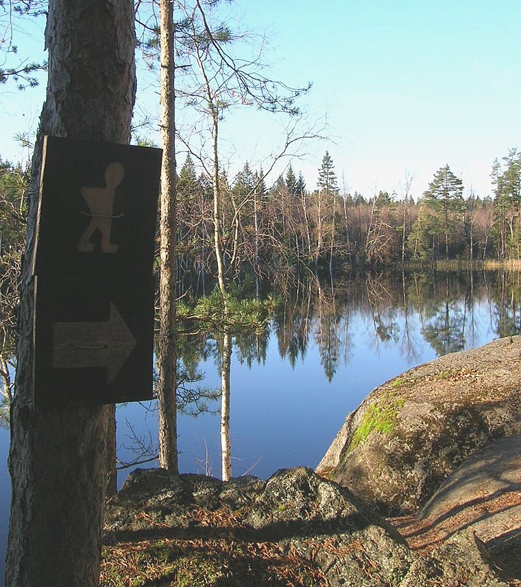
Elimäentie Rest Area
Elimäentie Rest Area is a rest area in Pyhtää, Kotka-Hamina, Kymenlaakso. Elimäentie Rest Area is situated nearby to the islet Tupasaari, as well as near Mittarisaari.| Tap on a place to explore it |
Places of Interest Nearby
Highlights include Ruotsinpyhtää Church and Kukuljärvi.

Ahvenkoski Manor
Farm

Photo: Wikimedia, Public domain.
Ahvenkoski Manor is a farm, which is situated 2 km southeast of Elimäentie Rest Area.
Places in the Area
Nearby places include Ruotsinpyhtää and Tesjoki.
Ruotsinpyhtää
Town

Photo: Coquimbano, Public domain.
Ruotsinpyhtää is a former municipality of Finland. Ruotsinpyhtää, Pernå and Liljendal were consolidated to Loviisa on January 1, 2010. It is located in the province of Southern Finland and was part of the Eastern Uusimaa region.
Tesjoki
Village

Photo: IA, CC BY-SA 4.0.
Tesjoki is a village in Loviisa municipality, Uusimaa, Finland. There are two schools in the village, one with education in Finnish and one where Swedish is the main language. Tesjoki is situated 9 km southwest of Elimäentie Rest Area.
Elimäentie Rest Area
- Type: Rest area
- Also known as: “Elimäentien levähdyspaikka”
- Category: transportation
- Location: Pyhtää, Kotka-Hamina, Kymenlaakso, Southern Finland, Finland, Nordic countries, Europe
- View on OpenStreetMap
Latitude
60.51156° or 60° 30′ 42″ northLongitude
26.46421° or 26° 27′ 51″ eastOpen location code
9GG8GF67+JMOpenStreetMap ID
way 919844632OpenStreetMap feature
highway=rest_area
This page is based on OpenStreetMap, Wikidata, and Wikimedia Commons.
We’d love your help improving our open data sources. Thank you for contributing.
Satellite Map
Discover Elimäentie Rest Area from above in high-definition satellite imagery.
In Other Languages
“Elimäentie Rest Area” goes by many names.
- Swedish: “Elimäkivägens rastplats”
Notable Places Nearby
Highlights include Tupasaari and Mittarisaari.
Nearby Places
Explore places such as Laavu and Rauhalantie E.
Kymenlaakso: Must-Visit Destinations
Delve into Kotka, Kouvola, Hamina, and Miehikkälä.
Curious Rest Areas to Discover
Uncover intriguing rest areas from every corner of the globe.
About Mapcarta. Data © OpenStreetMap contributors and available under the Open Database License". Text is available under the CC BY-SA 4.0 license, except for photos, directions, and the map. Photo: Wikimedia, Public domain.