Martyrs Club
Martyrs Club is a pub in Penydarren, Merthyr Tydfil, Wales which is located on Roberts Avenue. Martyrs Club is situated nearby to the community center Glow Uchaf Residents Centre, as well as near the recreation area Flying Start.| Tap on a place to explore it |
Places of Interest Nearby
Highlights include Prince Charles Hospital and Pen y Dre High School.
Prince Charles Hospital
Hospital
Prince Charles Hospital is a district general hospital in Gurnos, Merthyr Tydfil, Wales. It is managed by the Cwm Taf Morgannwg University Health Board. Prince Charles Hospital is situated 3,900 feet west of Martyrs Club.
Pen y Dre High School
School
Pen y Dre High School is an 11-16 mixed-sex comprehensive school situated in the Gurnos district of Merthyr Tydfil, Wales. Pen y Dre High School is situated 2,300 feet northwest of Martyrs Club.
Morlais Castle
Ruins

Photo: Gibbinskaren, CC BY-SA 4.0.
Morlais Castle is a 13th-century castle located above the Taff Gorge near the town of Merthyr Tydfil in Wales. Morlais Castle is situated 1 mile northwest of Martyrs Club.
Places in the Area
Nearby places include Gurnos and Dowlais.
Gurnos
Suburb

Photo: Hywel Williams, CC BY-SA 2.0.
Gurnos is a community of Merthyr Tydfil County Borough in Wales, United Kingdom. It consists principally of the Gurnos Estate. The population in 2011 was 5,280.
Dowlais
Suburb
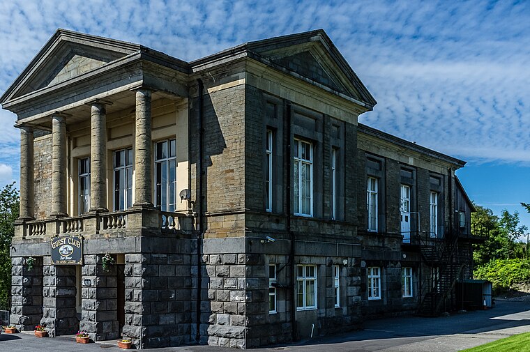
Photo: Varitek, CC BY-SA 3.0.
Dowlais is a village and community of the county borough of Merthyr Tydfil, in Wales. The name is derived from the Welsh du meaning 'black' and glais meaning 'stream'.
Pant
Village

Photo: John Lord, CC BY-SA 2.0.
Pant is a village and community on the outskirts of Merthyr Tydfil, a large former mining town in the South Wales Valleys, Wales. Pant is notable for being the starting point of the Brecon Mountain Railway, and the site of the former Morlais railway tunnel, which runs underneath the village and emerges in the middle of it.
Martyrs Club
- Type: Pub
- Address: Roberts Avenue, Merthyr Tydfil, CF47 9JH
- Category: building
- Location: Penydarren, Merthyr Tydfil, Wales, United Kingdom, Britain and Ireland, Europe
- View on OpenStreetMap
Latitude
51.76392° or 51° 45′ 50″ northLongitude
-3.36881° or 3° 22′ 8″ westOperator
Martyrs Club & Institute LtdOpen location code
9C3RQJ7J+HFOpenStreetMap ID
way 926934566OpenStreetMap feature
amenity=pubOpenStreetMap feature
building=yes
This page is based on OpenStreetMap, Wikidata, and Wikimedia Commons.
We’d love your help improving our open data sources. Thank you for contributing.
Satellite Map
Discover Martyrs Club from above in high-definition satellite imagery.
Notable Places Nearby
Highlights include Glow Uchaf Residents Centre and Flying Start.
Nearby Places
Explore places such as Julie’s Deli & Desserts and Martyr’s Fish Bar.
Wales: Must-Visit Destinations
Delve into Cardiff, Swansea, Newport, and Llanfairpwllgwyngyll.
Curious Pubs to Discover
Uncover intriguing pubs from every corner of the globe.
About Mapcarta. Data © OpenStreetMap contributors and available under the Open Database License". Text is available under the CC BY-SA 4.0 license, except for photos, directions, and the map. Photo: fionamcallisterphotography, CC BY 2.0.