Lipson Tandoori
Lipson Tandoori is a restaurant in Plymouth, England which is located on Ladysmith Road. Lipson Tandoori is situated nearby to the park Freedom Fields, as well as near Salisbury Road Baptist Church.| Tap on a place to explore it |
- Type: Restaurant
- Cuisine: Indian
- Address: 10 Ladysmith Road, Plymouth, PL4 7NJ
Places of Interest Nearby
Highlights include Church of St Simon and Salisbury Road Primary School.
Church of St Simon
Church

Photo: Mick Lobb, CC BY-SA 2.0.
Church of St Simon is situated 1,700 feet east of Lipson Tandoori.
Salisbury Road Primary School
School

Photo: Mick Lobb, CC BY-SA 2.0.
Salisbury Road Primary School is a coeducational primary school located on Salisbury Road in Plymouth, Devon, England. The school served as a major military hospital during the First World War. Salisbury Road Primary School is situated 1,300 feet south of Lipson Tandoori.
Plymouth railway station
Railway station

Photo: Wikimedia, Copyrighted free use.
Plymouth railway station serves the city of Plymouth, Devon, England. It is on the northern edge of the city centre, close to the North Cross roundabout. Plymouth railway station is situated 1 mile west of Lipson Tandoori.
Places in the Area
Nearby places include Lipson and Mutley.
Lipson
Suburb
Lipson is a ward in the city of Plymouth, England. It is an area with mixed terraced housing, some subdivided into bedsits and flats and a public open-space called 'Freedom Fields', a Civil War battle site where the townsfolk of nearby Plymouth resisted substantial Cavalier raiding parties and enabled the town to sustain the royalist siege.

Mannamead
Suburb
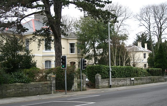
Photo: Tony Atkin, CC BY-SA 2.0.
Mannamead is a leafy suburb in the Compton ward of the city of Plymouth in the county of Devon, England. It was an affluent Victorian and early Edwardian suburb with wide avenues such as Seymour Road, grand villas and Thorn Park.
Lipson Tandoori
- Categories: building, retail building, and food
- Location: Plymouth, England, United Kingdom, Britain and Ireland, Europe
- View on OpenStreetMap
Latitude
50.37885° or 50° 22′ 44″ northLongitude
-4.12359° or 4° 7′ 25″ westOpen location code
9C2Q9VHG+GHOpenStreetMap ID
way 934302405OpenStreetMap feature
amenity=restaurantOpenStreetMap feature
building=retailOpenStreetMap attribute
cuisine=indian
This page is based on OpenStreetMap, Wikidata, and Wikimedia Commons.
We’d love your help improving our open data sources. Thank you for contributing.
Satellite Map
Discover Lipson Tandoori from above in high-definition satellite imagery.
Notable Places Nearby
Highlights include Freedom Fields and Salisbury Road Baptist Church.
Nearby Places
Explore places such as Lipson Terrace and Kelvin Avenue Substation.
England: Must-Visit Destinations
Delve into London, Manchester, Sheffield, and Leeds.
Curious Restaurants to Discover
Uncover intriguing restaurants from every corner of the globe.
About Mapcarta. Data © OpenStreetMap contributors and available under the Open Database License". Text is available under the CC BY-SA 4.0 license, except for photos, directions, and the map. Photo: Smalljim, CC BY 3.0.