Byplanvejens Skole
Byplanvejens Skole is a school in Aalborg Municipality, North Jutland. Byplanvejens Skole is situated nearby to the archaeological site Uglhøj, as well as near Gug Church.| Tap on a place to explore it |
Places of Interest Nearby
Highlights include Gug Church and Hans Egedes Church.
Gug Church
Church

Photo: Edam66, Public domain.
Gug Church is situated 220 metres southeast of Byplanvejens Skole.
Hans Egedes Church
Church

Photo: Edam66, Public domain.
Hans Egedes Church is situated 1 km northeast of Byplanvejens Skole.
Urania Observatory
Observatory

Photo: Veng, CC BY-SA 3.0.
Urania Observatory is situated 2 km northeast of Byplanvejens Skole.
Places in the Area
Nearby places include Gug and Eternitten.
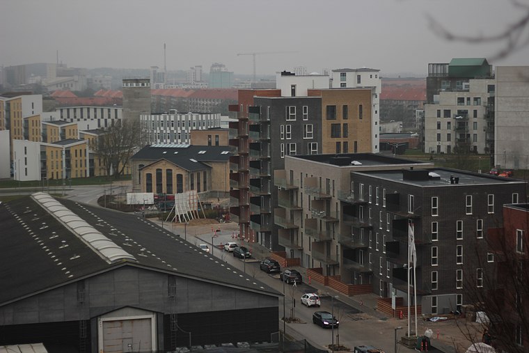
Skalborg
Suburb

Photo: Edam66, Public domain.
Skalborg is a neighbourhood in southern Aalborg, Denmark. It is located approximately 6km south of the city center. Skalborg has a population of 8,696 and an area of approximately 8 km². Skalborg is situated 2½ km west of Byplanvejens Skole.
Byplanvejens Skole
- Type: School
- Description: school in Aalborg Municipality, Denmark
- Categories: folkeskole and education
- Location: Aalborg Municipality, North Jutland, Jutland, Denmark, Nordic countries, Europe
- View on OpenStreetMap
Latitude
57.01736° or 57° 1′ 3″ northLongitude
9.92718° or 9° 55′ 38″ eastOpen location code
9F9F2W8G+WVOpenStreetMap ID
way 93715971OpenStreetMap feature
amenity=schoolWikidata ID
Q30156325
This page is based on OpenStreetMap, Wikidata, and Wikimedia Commons.
We’d love your help improving our open data sources. Thank you for contributing.
Satellite Map
Discover Byplanvejens Skole from above in high-definition satellite imagery.
In Other Languages
“Byplanvejens Skole” goes by many names.
- Danish: “Byplanvejens Skole”
- “Byplanvejens Skole”
Notable Places Nearby
Highlights include Uglhøj and Gym og Fitness.
Nearby Places
Explore places such as Byplanvejens Skole and Byplanvejens Skole (Byplanvej / Aalborg).
North Jutland: Must-Visit Destinations
Delve into Aalborg, Frederikshavn, Skagen, and Hjørring.
Curious Places to Discover
Uncover intriguing places from every corner of the globe.
About Mapcarta. Data © OpenStreetMap contributors and available under the Open Database License". Text is available under the CC BY-SA 4.0 license, except for photos, directions, and the map. Photo: Slaunger, CC BY-SA 3.0.