Putney Pharmacy
Putney Pharmacy is a pharmacy in Wandsworth, Greater London, England which is located on Upper Richmond Road. Putney Pharmacy is situated nearby to the health club Daley Fitness, as well as near the cemetery Putney Old Burial Ground.| Tap on a place to explore it |
Places of Interest Nearby
Highlights include Putney Old Burial Ground and Putney Methodist Church.
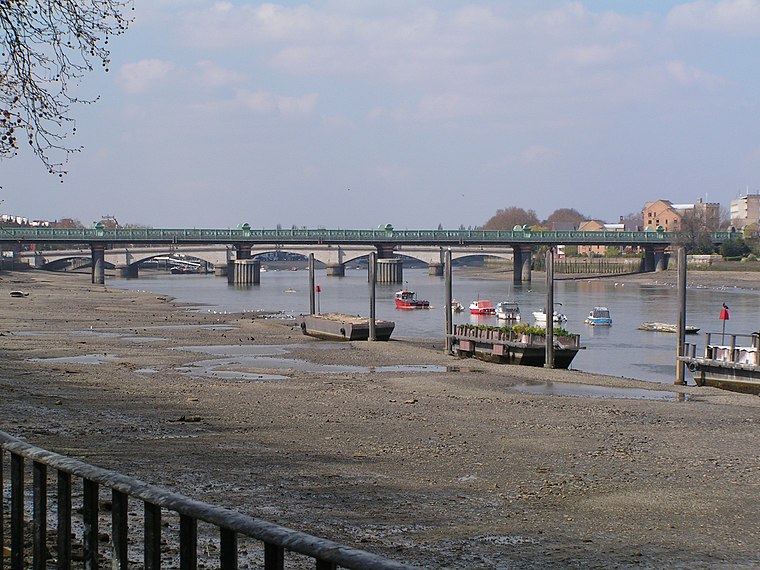
Putney Old Burial Ground
Cemetery

Photo: Peter Trimming, CC BY-SA 2.0.
Putney Old Burial Ground is a public urban park and former cemetery in the London Borough of Wandsworth near Putney town centre.
Putney Methodist Church
Church

Photo: Edwardx, CC BY-SA 3.0.
Putney Methodist Church is a Grade II listed church in Putney, in the London Borough of Wandsworth. Putney Methodist Church is situated 370 feet west of Putney Pharmacy.
Putney railway station
Railway station

Photo: Hassocks5489, Public domain.
Putney railway station serves Putney in the London Borough of Wandsworth, in southwest London straddling Travelcard zone 2 and zone 3. It is 5 miles 72 chains down the line from London Waterloo. Putney railway station is situated 1,200 feet east of Putney Pharmacy.
Places in the Area
Nearby places include Putney and Fulham.
Putney
Suburb

Photo: David Edgar, CC BY-SA 3.0.
Putney is an affluent district in southwest London, England, in the London Borough of Wandsworth, five miles southwest of Charing Cross. The area is identified in the London Plan as one of 35 major centres in Greater London.
Fulham
Suburb
 Fulham is an area of the London Borough of Hammersmith and Fulham in West London, England, 3.7 miles southwest of Charing Cross. It lies in a loop on the north bank of the River Thames, bordering Hammersmith, Kensington and Chelsea, with which it shares the area known as West Brompton.
Roehampton
Suburb

Photo: Stevekeiretsu, CC BY-SA 4.0.
Roehampton is an area in southwest London, sharing its SW15 postcode with neighbouring Putney and Kingston Vale, and takes up a far western strip, running north to south, in the London Borough of Wandsworth.
Putney Pharmacy
- Type: Pharmacy
- Address: 278 Upper Richmond Road, London, SW15 6TQ
- Categories: building, shop, and health care
- Location: Wandsworth, Greater London, London, England, United Kingdom, Britain and Ireland, Europe
- View on OpenStreetMap
Latitude
51.46183° or 51° 27′ 43″ northLongitude
-0.2206° or 0° 13′ 14″ westOpen location code
9C3XFQ6H+PQOpenStreetMap ID
way 937806873OpenStreetMap feature
building=yesOpenStreetMap feature
shop=chemist
This page is based on OpenStreetMap, Wikidata, and Wikimedia Commons.
We’d love your help improving our open data sources. Thank you for contributing.
Satellite Map
Discover Putney Pharmacy from above in high-definition satellite imagery.
Notable Places Nearby
Highlights include Daley Fitness and Bodies Under Construction.
Nearby Places
Explore places such as Parkside Hospital and Lanna Spa.
London: Must-Visit Destinations
Delve into South Kensington-Chelsea, Heathrow Airport, City of London, and Westminster.
Curious Pharmacies to Discover
Uncover intriguing pharmacies from every corner of the globe.
About Mapcarta. Data © OpenStreetMap contributors and available under the Open Database License". Text is available under the CC BY-SA 4.0 license, except for photos, directions, and the map. Photo: PAUL FARMER, CC BY-SA 2.0.