Mind North Kent
Mind North Kent is an office building in Dartford District, Kent, England. Mind North Kent is situated nearby to Blessed Hope Seventh Day Adventist Church, as well as near The Redeemed Christian Church of God, Center of Joy Parish.| Tap on a place to explore it |
Places of Interest Nearby
Highlights include Methodist Church and The Mick Jagger Centre.
Methodist Church
Church

Photo: Ethan Doyle White, CC BY-SA 4.0.
Methodist Church is situated 650 feet east of Mind North Kent.
The Mick Jagger Centre
Community center

Photo: David Anstiss, CC BY-SA 2.0.
The Mick Jagger Centre is a performing arts venue in Dartford, Kent, England, within the grounds of Dartford Grammar School. It is named after the Rolling Stones singer Mick Jagger, who was a pupil at the school. The Mick Jagger Centre is situated 1,400 feet west of Mind North Kent.
The Royal Oak Public House
Pub
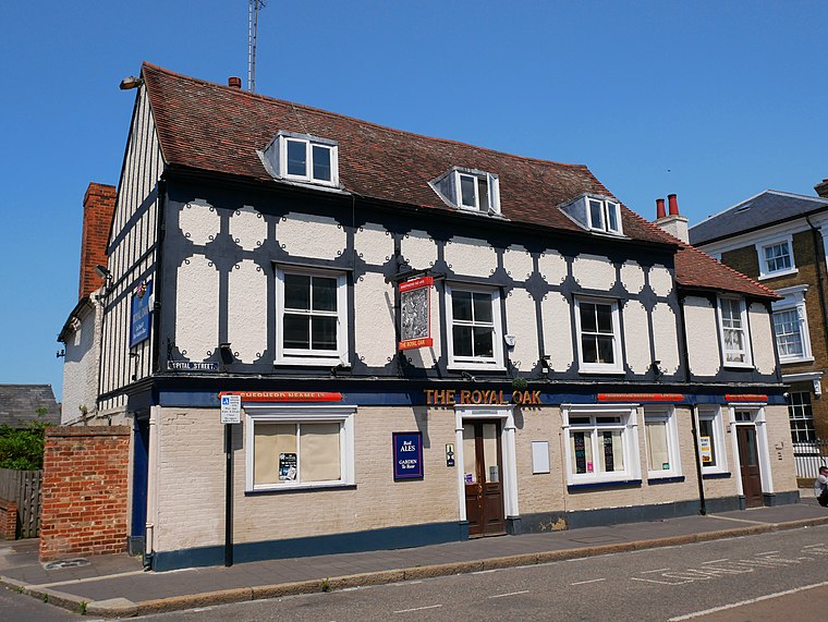
Photo: Ethan Doyle White, CC BY-SA 4.0.
The Royal Oak Public House is situated 400 feet east of Mind North Kent.
Places in the Area
Nearby places include Dartford and Temple Hill.
Dartford

Photo: Diliff, CC BY-SA 3.0.
Dartford is a commuter town for Greater London in Kent, with a long history of religious, industrial and cultural importance town.
Temple Hill
Suburb

Photo: Pete Chapman, CC BY-SA 2.0.
Temple Hill is a suburb of Dartford in Kent, England. It takes its name from the Knights Templar order. Temple Hill extends from the west of the A282 in the east to Dartford town centre in the west.
Barnes Cray
Suburb

Photo: Nigel Cox, CC BY-SA 2.0.
Barnes Cray is an area in south-east London within the London Borough of Bexley. It is located on the Greater London border with Kent, bordering the Dartford Borough. It is located north west of Dartford.
Mind North Kent
- Type: Office building
- Categories: building, non-governmental organization, and office
- Location: Dartford District, Kent, South East England, England, United Kingdom, Britain and Ireland, Europe
- View on OpenStreetMap
Latitude
51.44509° or 51° 26′ 42″ northLongitude
0.2118° or 0° 12′ 43″ eastLevels
1Open location code
9F32C6W6+2POpenStreetMap ID
way 940610788OpenStreetMap feature
building=officeOpenStreetMap feature
office=ngo
This page is based on OpenStreetMap, Wikidata, and Wikimedia Commons.
We’d love your help improving our open data sources. Thank you for contributing.
Satellite Map
Discover Mind North Kent from above in high-definition satellite imagery.
Notable Places Nearby
Highlights include Blessed Hope Seventh Day Adventist Church and The Redeemed Christian Church of God, Center of Joy Parish.
Nearby Places
Explore places such as The Hill Hub and Justice Cafe.
Kent: Must-Visit Destinations
Delve into Canterbury, Dover, Maidstone, and Rochester.
Curious Office Buildings to Discover
Uncover intriguing office buildings from every corner of the globe.
About Mapcarta. Data © OpenStreetMap contributors and available under the Open Database License". Text is available under the CC BY-SA 4.0 license, except for photos, directions, and the map. Photo: Diliff, CC BY-SA 3.0.