Kerhaw Lane N
Kerhaw Lane N is an electrical substation in Mossley, Tameside, England. Kerhaw Lane N is situated nearby to the sports venue Aldwinians Rugby Union Football Club, as well as near the pitch Rycroft Hall Crown Green Bowls Club.| Tap on a place to explore it |
Places of Interest Nearby
Highlights include Church of St Mary and Fairfield railway station.
Church of St Mary
Church

Photo: Wikimedia, CC BY-SA 2.0.
Church of St Mary is situated 1,700 feet west of Kerhaw Lane N.
Fairfield railway station
Railway station

Photo: Keith Williamson, CC BY-SA 2.0.
Fairfield railway station serves the Fairfield area of Droylsden, Tameside, Greater Manchester and is located 3.1 miles east of Manchester Piccadilly station. Fairfield railway station is situated 3,200 feet southwest of Kerhaw Lane N.
Fairfield Moravian Church
Church

Photo: David Dixon, CC BY-SA 2.0.
Fairfield Moravian Church and its surrounding settlement was founded in 1785 in Fairfield, Droylsden, Lancashire, England. It was founded by Benjamin La Trobe as a centre for evangelistic work for the Moravian Church in the Manchester area. Fairfield Moravian Church is situated 3,200 feet west of Kerhaw Lane N.
Places in the Area
Nearby places include Droylsden and Audenshaw.
Droylsden
Town

Photo: Wikimedia, CC BY-SA 2.0.
Droylsden is a town in Tameside, Greater Manchester, England, 4 miles east of Manchester and 2 miles west of Ashton-under-Lyne, with a population at the 2011 Census of 22,689.
Audenshaw
Town

Photo: Ian Roberts, CC BY-SA 2.0.
Audenshaw is a town in Tameside, Greater Manchester, England, 4.9 miles east of Manchester. Historically part of Lancashire, in 2011 it had a population of 11,419.
Guide Bridge
Suburb
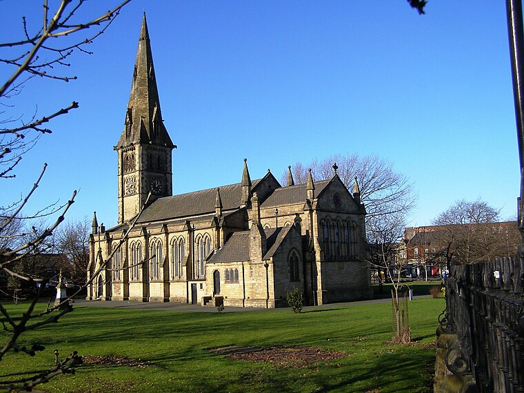
Photo: David Dixon, CC BY-SA 2.0.
Guide Bridge is an area west of Ashton-under-Lyne in Greater Manchester, England. Historically part of Lancashire, Guide Bridge was built as a village around an eponymous bridge over the Ashton Canal.
Kerhaw Lane N
- Type: Electrical substation
- Category: industry
- Location: Mossley, Tameside, England, United Kingdom, Britain and Ireland, Europe
- View on OpenStreetMap
Latitude
53.4784° or 53° 28′ 42″ northLongitude
-2.13591° or 2° 8′ 9″ westOpen location code
9C5VFVH7+9JOpenStreetMap ID
way 955831916
This page is based on OpenStreetMap, Wikidata, and Wikimedia Commons.
We’d love your help improving our open data sources. Thank you for contributing.
Satellite Map
Discover Kerhaw Lane N from above in high-definition satellite imagery.
Notable Places Nearby
Highlights include Aldwinians Rugby Union Football Club and Rycroft Hall Crown Green Bowls Club.
Nearby Places
Explore places such as Nisa and Fairfield, Droylsden Road / adjacent Kershaw Lane.
England: Must-Visit Destinations
Delve into London, Manchester, Sheffield, and Leeds.
Curious Electrical Substations to Discover
Uncover intriguing electrical substations from every corner of the globe.
About Mapcarta. Data © OpenStreetMap contributors and available under the Open Database License". Text is available under the CC BY-SA 4.0 license, except for photos, directions, and the map. Photo: Zboralski, CC0.