Stand de tir du Beynert
Stand de tir du Beynert is a pitch in Arlon, Luxembourg, Wallonia. Stand de tir du Beynert is situated nearby to the pitch Royale Jeunesse Freylangeoise, as well as near the cemetery Cimetière de Freylange.| Tap on a place to explore it |
Places of Interest Nearby
Highlights include Stockem railway station and Viville railway station.
Stockem railway station
Railway station

Photo: Les Meloures, CC BY-SA 4.0.
Stockem railway station is situated 1½ km south of Stand de tir du Beynert.
Viville railway station
Railway stop
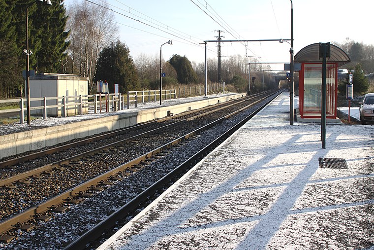
Photo: Wikimedia, CC BY-SA 4.0.
Viville railway station is a railway stop, which is situated 2½ km southeast of Stand de tir du Beynert.
Cemetery of Arlon
Cemetery

Photo: Olnnu, CC BY-SA 3.0.
Cemetery of Arlon is situated 4 km east of Stand de tir du Beynert.
Places in the Area
Nearby places include Heinsch and Stockem.
Heinsch
Village
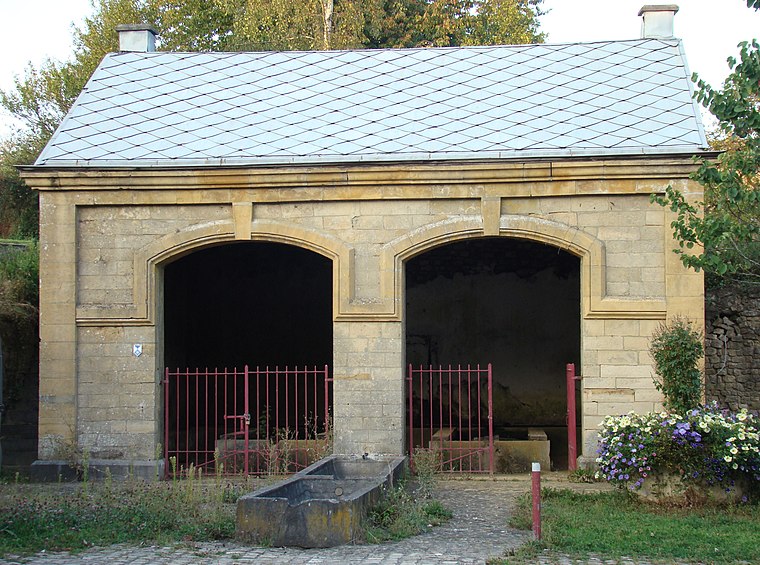
Photo: Muller claire, CC BY-SA 3.0.
Heinsch is a sub-municipality of the city of Arlon located in the province of Luxembourg, Wallonia, Belgium. It was a separate municipality until 1977. On 1 January 1977, it was merged into Arlon.

Thiaumont
Village
 Thiaumont is a village, which is situated 3 km northwest of Stand de tir du Beynert.
Stand de tir du Beynert
- Type: Pitch
- Categories: shooting sport, recreation area, and sports location
- Location: Arlon, Luxembourg, Wallonia, Belgium, Benelux, Europe
- View on OpenStreetMap
Latitude
49.70421° or 49° 42′ 15″ northLongitude
5.76486° or 5° 45′ 54″ eastOpen location code
8FX7PQ37+MWOpenStreetMap ID
way 95813632OpenStreetMap feature
leisure=pitchOpenStreetMap feature
sport=shooting
This page is based on OpenStreetMap, Wikidata, and Wikimedia Commons.
We’d love your help improving our open data sources. Thank you for contributing.
Satellite Map
Discover Stand de tir du Beynert from above in high-definition satellite imagery.
Notable Places Nearby
Highlights include Royale Jeunesse Freylangeoise and Cimetière de Freylange.
Nearby Places
Explore places such as Panneau d’information LIFE Elia-RTE and Freylange École.
Luxembourg: Must-Visit Destinations
Delve into Bastogne, Bouillon, and La Roche-en-Ardenne.
Curious Pitches to Discover
Uncover intriguing pitches from every corner of the globe.
About Mapcarta. Data © OpenStreetMap contributors and available under the Open Database License". Text is available under the CC BY-SA 4.0 license, except for photos, directions, and the map. Photo: Jean-Pol GRANDMONT, CC BY 3.0.