Colney Heath Common
Colney Heath Common is a park in Colney Heath, City and District of St. Albans, England. Colney Heath Common is situated nearby to the community center Colney Heath Village Hall, as well as near The Crooked Billet Public House.| Tap on a place to explore it |
Places of Interest Nearby
Highlights include The Crooked Billet Public House and Church of St Mark.
The Crooked Billet Public House
Pub

Photo: Bikeboy, CC BY-SA 2.0.
The Crooked Billet Public House is situated 870 feet north of Colney Heath Common.
Church of St Mark
Church

Photo: Nigel Cox, CC BY-SA 2.0.
Church of St Mark is situated 2,200 feet northwest of Colney Heath Common.
Tyttenhanger House
Manor estate

Photo: Mike Hartley, CC BY-SA 2.0.
Tyttenhanger House is a 17th-century country mansion, now converted into commercial offices, at Tyttenhanger, near St Albans, Hertfordshire. It is a Grade I listed building. Tyttenhanger House is situated 1 mile southwest of Colney Heath Common.
Places in the Area
Nearby places include Colney Heath and Sleapshyde.
Colney Heath
Village
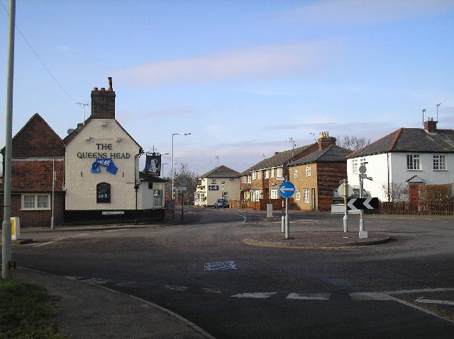
Photo: Barry Lawson, CC BY-SA 2.0.
Colney Heath is a large village in Hertfordshire, England. The village became a civil parish in 1947 when the St. Peter Rural parish was split to form Colney Heath and London Colney.
Sleapshyde
Hamlet
Sleapshyde is a small village in Hertfordshire, United Kingdom. It is located between Hatfield and St Albans, to the south of Smallford and to the north of Colney Heath, of which it is located in the civil parish of.
Smallford
Hamlet

Photo: Jack Hill, CC BY-SA 2.0.
Smallford is a village in the City and District of St Albans, Hertfordshire, United Kingdom. It is sandwiched between Hatfield and St Albans. It was served by Smallford railway station on the Hatfield and St Albans Railway, now the Alban Way cycle path.
Colney Heath Common
- Type: Park
- Category: recreation area
- Location: Colney Heath, City and District of St. Albans, Hertfordshire, East of England, England, United Kingdom, Britain and Ireland, Europe
- View on OpenStreetMap
Latitude
51.73762° or 51° 44′ 15″ northLongitude
-0.26034° or 0° 15′ 37″ westOpen location code
9C3XPPQQ+2VOpenStreetMap ID
way 958621390OpenStreetMap feature
leisure=park
This page is based on OpenStreetMap, Wikidata, and Wikimedia Commons.
We’d love your help improving our open data sources. Thank you for contributing.
Satellite Map
Discover Colney Heath Common from above in high-definition satellite imagery.
Notable Places Nearby
Highlights include Colney Heath Village Hall and Colney Heath News.
Nearby Places
Explore places such as Crooked Billet PH and BHG Colney Heath.
Hertfordshire: Must-Visit Destinations
Delve into St Albans, Watford, Stevenage, and Hertford.
Curious Parks to Discover
Uncover intriguing parks from every corner of the globe.
About Mapcarta. Data © OpenStreetMap contributors and available under the Open Database License". Text is available under the CC BY-SA 4.0 license, except for photos, directions, and the map. Photo: Wikimedia, CC0.