Campeggio Pian dei Prati
Campeggio Pian dei Prati is a campsite in Piandimeleto, Pesaro and Urbino, Marche which is located on Via Pian Dei Prati. Campeggio Pian dei Prati is situated nearby to the peak Monte Castellaro, as well as near L’Osservatorio.| Tap on a place to explore it |
Places of Interest Nearby
Highlights include Sasso di Simone.
Sasso di Simone
Peak

Photo: Toni Pecoraro, Public domain.
Sasso di Simone is a peak, which is situated 3½ km west of Campeggio Pian dei Prati.
Places in the Area
Nearby places include Scavolino and Pennabilli.
Scavolino
Hamlet
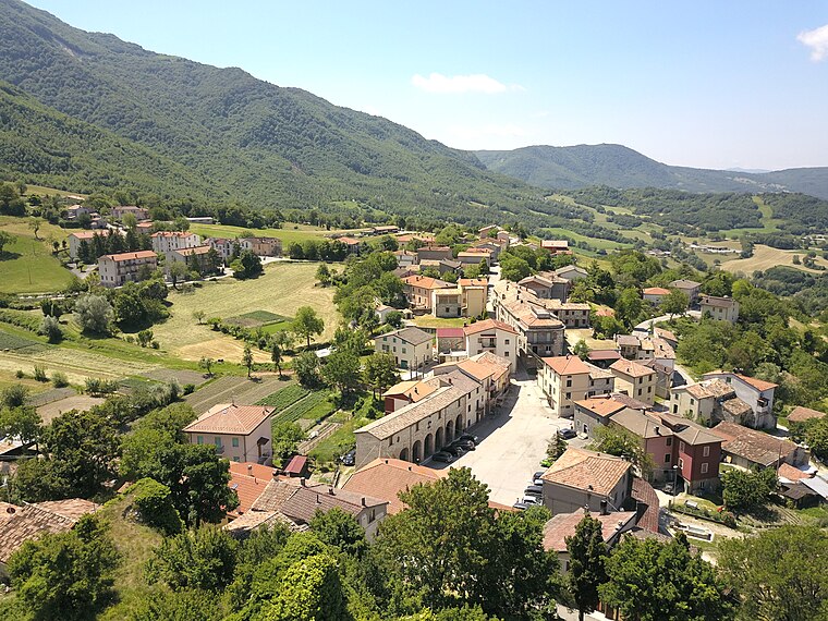
Photo: Federico.barbanti, CC BY-SA 4.0.
Scavolino is a hamlet, which is situated 7 km northwest of Campeggio Pian dei Prati.
Pennabilli

Photo: Goldmund100, CC BY-SA 3.0.
Pennabilli is a comune in the Province of Rimini in the Italian region Emilia-Romagna, located about 140 kilometres southeast of Bologna and about 45 kilometres south of Rimini.
Soanne
Hamlet

Photo: Bultro, CC BY-SA 4.0.
Soanne is a hamlet, which is situated 9 km north of Campeggio Pian dei Prati.
Campeggio Pian dei Prati
- Type: Campsite
- Address: Via Pian Dei Prati, Frontino, 61021
- Categories: tourism and camping
- Location: Piandimeleto, Pesaro and Urbino, Marche, Central Italy, Italy, Europe
- View on OpenStreetMap
Latitude
43.76461° or 43° 45′ 53″ northLongitude
12.33662° or 12° 20′ 12″ eastOpen location code
8FMJQ87P+RJOpenStreetMap ID
way 966541578OpenStreetMap feature
tourism=camp_site
This page is based on OpenStreetMap, Wikidata, and Wikimedia Commons.
We’d love your help improving our open data sources. Thank you for contributing.
Satellite Map
Discover Campeggio Pian dei Prati from above in high-definition satellite imagery.
Notable Places Nearby
Highlights include Monte Castellaro and L’Osservatorio.
Nearby Places
Explore places such as Croce del Castellaro and Le Piane.
Curious Campsites to Discover
Uncover intriguing campsites from every corner of the globe.
About Mapcarta. Data © OpenStreetMap contributors and available under the Open Database License". Text is available under the CC BY-SA 4.0 license, except for photos, directions, and the map. Photo: Wikimedia, CC0.