Romford Rail Operating Centre (Anglia Route)
Romford Rail Operating Centre (Anglia Route) is a building in Havering, Greater London, England. Romford Rail Operating Centre (Anglia Route) is situated nearby to the school Concordia Academy, as well as near St. Andrew’s Church.| Tap on a place to explore it |
Places of Interest Nearby
Highlights include Romford railway station and The Brewery.
Romford railway station
Railway station

Photo: Sunil060902, CC BY-SA 4.0.
Romford railway station is an interchange station on the Great Eastern Main Line, serving the town of Romford in the London Borough of Havering, east London. Romford railway station is situated 1,700 feet northeast of Romford Rail Operating Centre (Anglia Route).
The Brewery
Shopping center
The Brewery is a shopping and leisure centre in Romford town centre, in the London Borough of Havering, England. It is located on the site of the former Star Brewery, and it opened in 2001. The Brewery is situated 1,500 feet northeast of Romford Rail Operating Centre (Anglia Route).
Queen’s Hospital
Hospital

Photo: MRSC, Public domain.
Queen's Hospital is a large teaching hospital in Romford in the London Borough of Havering. It was built on the site of the former Oldchurch Park, a short distance south of the town centre. Queen’s Hospital is situated 1,800 feet southeast of Romford Rail Operating Centre (Anglia Route).
Places in the Area
Nearby places include Romford and Rush Green.
Romford
Town
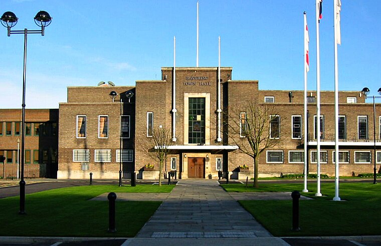
Photo: MRSC, Public domain.
Romford is a large town in east London, England, located 14 mi northeast of Charing Cross. Part of the London Borough of Havering, the town is one of the major metropolitan centres of Greater London identified in the London Plan.
Rush Green
Locality

Photo: MRSC, Public domain.
Rush Green is a suburban area in Romford in East London, England. It straddles the boundary of the London Borough of Barking and Dagenham and the London Borough of Havering, and is located 13.5 miles east-northeast of Charing Cross.
Gidea Park
Suburb

Photo: Trevor Harris, CC BY-SA 2.0.
Gidea Park is a neighbourhood in the east of Romford in the London Borough of Havering, south-east England. Predominantly an affluent and residential area, it was historically located in the county of Essex.
Romford Rail Operating Centre (Anglia Route)
- Type: Public transport
- Categories: building and transportation
- Location: Havering, Greater London, England, United Kingdom, Britain and Ireland, Europe
- View on OpenStreetMap
Latitude
51.57261° or 51° 34′ 21″ northLongitude
0.17603° or 0° 10′ 34″ eastOperator
Network RailOpen location code
9F32H5FG+2COpenStreetMap ID
way 970727890OpenStreetMap feature
building=transportationOpenStreetMap feature
railway=signal_box
This page is based on OpenStreetMap, Wikidata, and Wikimedia Commons.
We’d love your help improving our open data sources. Thank you for contributing.
Satellite Map
Discover Romford Rail Operating Centre (Anglia Route) from above in high-definition satellite imagery.
Notable Places Nearby
Highlights include Concordia Academy and St. Andrew’s Church.
Nearby Places
Explore places such as Wilson Court and Brampton Court.
England: Must-Visit Destinations
Delve into London, Manchester, Sheffield, and Leeds.
Curious Places to Discover
Uncover intriguing places from every corner of the globe.
About Mapcarta. Data © OpenStreetMap contributors and available under the Open Database License". Text is available under the CC BY-SA 4.0 license, except for photos, directions, and the map. Photo: sidibousaid, CC BY 2.0.