FC Wacker Haig
FC Wacker Haig is a sports venue in Stockheim, Kronach, Bavaria. FC Wacker Haig is situated nearby to the church St. Anna, as well as near the cemetery Friedhof Haig.| Tap on a place to explore it |
Places of Interest Nearby
Highlights include St. Anna and Schwedenstein.
St. Anna
Church
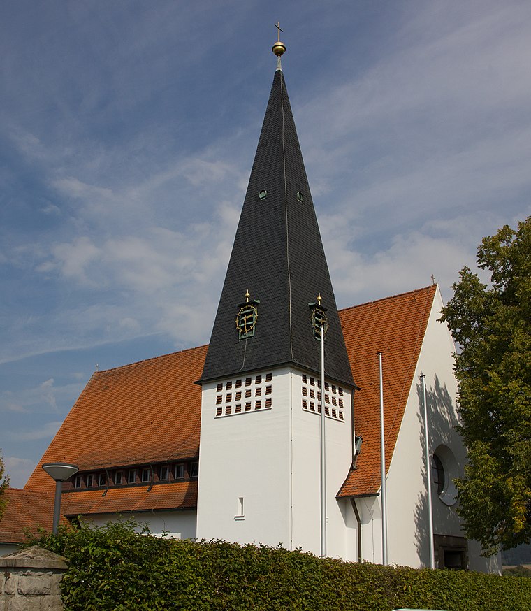
Photo: Careerfromhome, CC BY-SA 4.0.
St. Anna is a church, which is situated 330 metres northeast of FC Wacker Haig.
Schwedenstein
Geographical marker

Photo: Kronach Fotos, CC BY-SA 4.0.
Schwedenstein is a geographical marker, which is situated 1 km north of FC Wacker Haig.
St. Lawrence (Burggrub)
Church

Photo: Wikimedia, CC BY-SA 3.0 de.
St. Lawrence (Burggrub) is a church, which is situated 1½ km northwest of FC Wacker Haig.
Places in the Area
Nearby places include Haig and Burggrub.


FC Wacker Haig
- Type: Sports venue
- Categories: recreation area, football, and sports location
- Location: Stockheim, Kronach, Upper Franconia, Franconia, Bavaria, Germany, Central Europe, Europe
- View on OpenStreetMap
Latitude
50.27869° or 50° 16′ 43″ northLongitude
11.27736° or 11° 16′ 39″ eastOpen location code
9F2H77HG+FWOpenStreetMap ID
way 975202825OpenStreetMap feature
leisure=sports_centreOpenStreetMap feature
sport=soccer
This page is based on OpenStreetMap, Wikidata, and Wikimedia Commons.
We’d love your help improving our open data sources. Thank you for contributing.
Satellite Map
Discover FC Wacker Haig from above in high-definition satellite imagery.
Notable Places Nearby
Highlights include Friedhof Haig and Freiwillige Feuerwehr Haig.
Nearby Places
Explore places such as Hotel/Landgasthof Detsch and Haig, Coburger Straße.
Upper Franconia: Must-Visit Destinations
Delve into Bamberg, Bayreuth, Coburg, and Hof.
Curious Sports Venues to Discover
Uncover intriguing sports venues from every corner of the globe.
About Mapcarta. Data © OpenStreetMap contributors and available under the Open Database License". Text is available under the CC BY-SA 4.0 license, except for photos, directions, and the map. Photo: Wikimedia, CC0.