Fenland Village
Fenland Village is a residential area in Wisbech, Fenland District, England. Fenland Village is situated nearby to the shipyard Crab Marsh Boatyard, as well as near Orchards Church of England Primary School.| Tap on a place to explore it |
Places of Interest Nearby
Highlights include Harecroft Road and Wisbech & Fenland Museum.
Harecroft Road
Recreation area

Photo: Richard Humphrey, CC BY-SA 2.0.
Harecroft Road is a cricket ground in Wisbech, Cambridgeshire. The first recorded match on the ground was in 1926, when Cambridgeshire played the Leicestershire Second XI in the Minor Counties Championship. Harecroft Road is situated 3,400 feet southwest of Fenland Village.
Wisbech & Fenland Museum
Museum
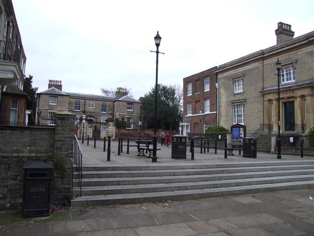
Photo: Tony Bennett, CC BY-SA 2.0.
The Wisbech & Fenland Museum, located in the town of Wisbech in the Isle of Ely, Cambridgeshire, England, is one of the oldest purpose-built museums in the United Kingdom. The museum logo is W&F. Wisbech & Fenland Museum is situated 1 mile south of Fenland Village.
Angles Theatre
Theater building

Photo: Bearas, CC BY-SA 4.0.
The Angles Theatre is a theatre and historic Georgian playhouse in the market town of Wisbech, Isle of Ely, Cambridgeshire, England. It is among the oldest of Britain's theatres. Angles Theatre is situated 1 mile south of Fenland Village.
Places in the Area
Nearby places include Leverington and West Walton.
Leverington
Village

Photo: mym, CC BY-SA 2.0.
Leverington is a village and civil parish in the Fenland District of Cambridgeshire, England. The settlement is to the north of Wisbech. At the time of the 2001 Census, the parish's population was 2,914 people, including Four Gotes, increasing to 3,339 at the 2011 Census.
West Walton
Village

Photo: Wikimedia, CC BY-SA 2.0.
West Walton is a village and civil parish in the King's Lynn and West Norfolk District of Norfolk, England. The parish of West Walton, in the 2001 Census, had a population of 1,659, increasing to 1,731 at the 2011 Census. West Walton is situated 1½ miles northeast of Fenland Village.
Gorefield
Village

Photo: Chris Stafford, CC BY-SA 2.0.
Gorefield is a village and civil parish in the Fenland district of Cambridgeshire, England. At the time of the 2001 census, the parish's population was 1,064 people, increasing to 1,184 at the 2011 census. Gorefield is situated 2½ miles west of Fenland Village.
Fenland Village
Latitude
52.67874° or 52° 40′ 44″ northLongitude
0.15855° or 0° 9′ 31″ eastOpen location code
9F42M5H5+FCOpenStreetMap ID
way 979704020OpenStreetMap feature
landuse=residential
This page is based on OpenStreetMap, Wikidata, and Wikimedia Commons.
We’d love your help improving our open data sources. Thank you for contributing.
Satellite Map
Discover Fenland Village from above in high-definition satellite imagery.
Notable Places Nearby
Highlights include Crab Marsh Boatyard and Orchards Church of England Primary School.
Nearby Places
Explore places such as Walker Nene and Osborne Park.
England: Must-Visit Destinations
Delve into London, Manchester, Sheffield, and Leeds.
Curious Residential Areas to Discover
Uncover intriguing residential areas from every corner of the globe.
About Mapcarta. Data © OpenStreetMap contributors and available under the Open Database License". Text is available under the CC BY-SA 4.0 license, except for photos, directions, and the map. Photo: sidibousaid, CC BY 2.0.