St Edmund’s Church
St Edmund’s Church is a church in Llanedi, Carmarthenshire, Wales. St Edmund’s Church is situated nearby to the village Tycroes, as well as near the church Capel Moriah.| Tap on a place to explore it |
Places of Interest Nearby
Highlights include Caersalem Chapel and Pantyffynnon railway station.
Caersalem Chapel
Church

Photo: Jeremy Bolwell, CC BY-SA 2.0.
Caersalem Chapel is a church, which is situated 980 feet north of St Edmund’s Church.
Pantyffynnon railway station
Railway station

Photo: Alan Hughes, CC BY-SA 2.0.
Pantyffynnon railway station is a railway station serving the village of Pantyffynnon, in Carmarthenshire, Wales. It is situated on the Heart of Wales Line at its junction with the branch lines to Brynamman and Abernant. Pantyffynnon railway station is situated 1 mile east of St Edmund’s Church.
Ammanford railway station
Railway station
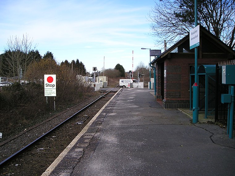
Photo: Marion Phillips, CC BY-SA 2.0.
Ammanford railway station in Ammanford, Carmarthenshire, Wales, is 12 miles north of Swansea on the Heart of Wales Line. The station opened in 1841 as a temporary terminus of the Llanelly Railway's line to Llandeilo, making it one of the country's earlier railway stations. Ammanford railway station is situated 1½ miles northeast of St Edmund’s Church.
Places in the Area
Nearby places include Tycroes and Pantyffynnon.
Tycroes
Village
Tycroes is a village in Carmarthenshire, Wales. As measured in the 2011 Census, the population of Tycroes electoral ward was 2,438 persons. At the 2011 Census all the population was counted in Llanedi community.
Pantyffynnon
Village
Pantyffynnon is a small village in Carmarthenshire, Wales, half a mile south-west of Ammanford, and a mile east of Tycroes. It lies between the rivers Loughor and Amman at the foot of Mynydd y Betws.
Saron
Village

Photo: Nigel Davies, CC BY-SA 2.0.
Saron is a mining village near the town of Ammanford in Carmarthenshire, Wales. Saron is in the community of Llandybie. It is named after Saron Baptist Chapel which was established around 1810.
St Edmund’s Church
- Type: Church
- Denomination: Anglican
- Categories: building, place of worship, and religion
- Location: Llanedi, Carmarthenshire, South Wales, Wales, United Kingdom, Britain and Ireland, Europe
- View on OpenStreetMap
Latitude
51.77816° or 51° 46′ 41″ northLongitude
-4.02026° or 4° 1′ 13″ westOpen location code
9C3QQXHH+7VOpenStreetMap ID
way 988571798OpenStreetMap feature
amenity=place_of_worshipOpenStreetMap feature
building=churchOpenStreetMap attribute
denomination=anglican
This page is based on OpenStreetMap, Wikidata, and Wikimedia Commons.
We’d love your help improving our open data sources. Thank you for contributing.
Satellite Map
Discover St Edmund’s Church from above in high-definition satellite imagery.
Places with the Same Name
Discover other places named “St Edmund’s Church”.
Notable Places Nearby
Highlights include Capel Moriah and Tycroes Primary School.
Nearby Places
Explore places such as Tycroes Square Substation and Tycroes Square.
Carmarthenshire: Must-Visit Destinations
Delve into Carmarthen, Llanelli, Ammanford, and Llandovery.
Curious Churches to Discover
Uncover intriguing churches from every corner of the globe.
About Mapcarta. Data © OpenStreetMap contributors and available under the Open Database License". Text is available under the CC BY-SA 4.0 license, except for photos, directions, and the map. Photo: Wikimedia, CC0.