Grillhütte Dattenberg
Grillhütte Dattenberg is a shelter in Dattenberg, Neuwied, Rhineland-Palatinate. Grillhütte Dattenberg is situated nearby to Tennisclub 1978 Dattenberg e.V., as well as near the pitch Sportplatz Dattenberg.| Tap on a place to explore it |
Places of Interest Nearby
Highlights include Burg Dattenberg and Neutor.
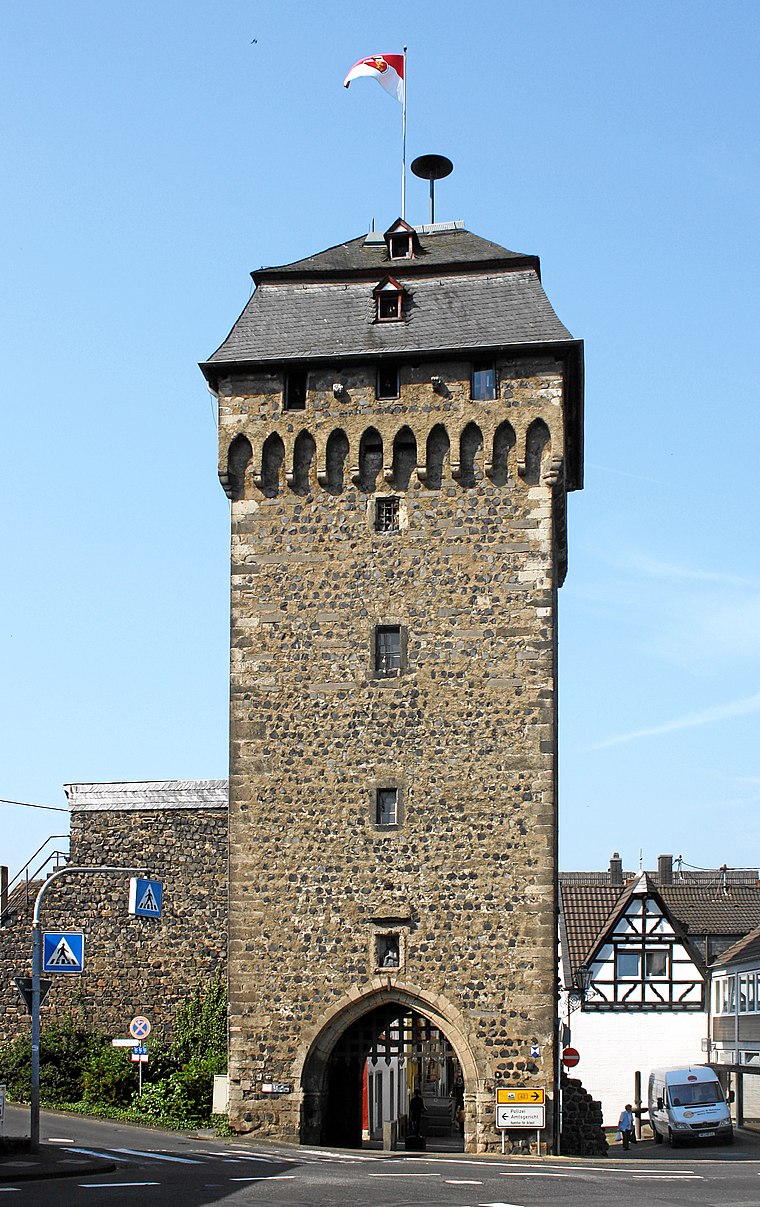
Burg Dattenberg
Castle

Photo: Tohma, CC BY-SA 4.0.
Burg Dattenberg is a castle, which is situated 680 metres southwest of Grillhütte Dattenberg.
St. Martin
Church

Photo: Tohma, CC BY-SA 4.0.
St. Martin is a church, which is situated 1 km northwest of Grillhütte Dattenberg.
Places in the Area
Nearby places include Linz am Rhein and Leubsdorf.
Linz am Rhein
Town

Photo: Wolkenkratzer, CC BY-SA 3.0.
Linz am Rhein is a municipality in the district of Neuwied, in Rhineland-Palatinate, Germany. It is situated on the right bank of the river Rhine near Remagen, approx.
Leubsdorf
Village

Photo: Wolkenkratzer, CC BY-SA 4.0.
Leubsdorf is a village of Rhineland-Palatinate, Germany, in the district of Neuwied.

Grillhütte Dattenberg
- Type: Shelter
- Category: building
- Location: Dattenberg, Neuwied, Rhineland-Palatinate, Germany, Central Europe, Europe
- View on OpenStreetMap
Latitude
50.5603° or 50° 33′ 37″ northLongitude
7.2952° or 7° 17′ 43″ eastOpen location code
9F29H76W+43OpenStreetMap ID
way 98999766OpenStreetMap feature
amenity=shelterOpenStreetMap feature
building=yes
This page is based on OpenStreetMap, Wikidata, and Wikimedia Commons.
We’d love your help improving our open data sources. Thank you for contributing.
Satellite Map
Discover Grillhütte Dattenberg from above in high-definition satellite imagery.
Notable Places Nearby
Highlights include Tennisclub 1978 Dattenberg e.V. and Sportplatz Dattenberg.
Nearby Places
Explore places such as Verteilerzentrum Dattenberg and Bauhof.
Rhineland-Palatinate: Must-Visit Destinations
Delve into Mainz, Trier, Koblenz, and Worms.
Curious Shelters to Discover
Uncover intriguing shelters from every corner of the globe.
About Mapcarta. Data © OpenStreetMap contributors and available under the Open Database License". Text is available under the CC BY-SA 4.0 license, except for photos, directions, and the map. Photo: Traveler100, CC BY-SA 3.0.