Escuela Secundaria N°8
Escuela Secundaria N°8 is a school building in Almirante Brown Partido, Buenos Aires. Escuela Secundaria N°8 is situated nearby to the church Parroquia Nuestra Señora de Luján, as well as near the police station Comisaría Almirante Brown 6°.| Tap on a place to explore it |
Places of Interest Nearby
Highlights include Claypole train station and Rafael Calzada train station.
Claypole train station
Railway station
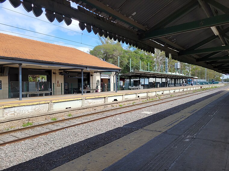
Photo: Hurfer, CC BY-SA 4.0.
Claypole train station is a railway station, which is situated 1 km southwest of Escuela Secundaria N°8.
Rafael Calzada train station
Railway station
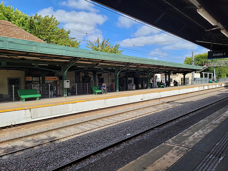
Photo: Hurfer, CC BY-SA 4.0.
Rafael Calzada train station is a railway station, which is situated 2½ km west of Escuela Secundaria N°8.
Ingeniero Dante Ardigó train station
Railway station

Photo: TRC01 Argentina, CC BY-SA 4.0.
Ingeniero Dante Ardigó train station is a railway station, which is situated 3 km southeast of Escuela Secundaria N°8.
Places in the Area
Nearby places include Claypole and Rafael Calzada.
Claypole
Town

Photo: Alpertron, CC BY-SA 3.0.
Claypole is an Argentine city located in the southern part of the Almirante Brown Partido, Buenos Aires Province with a population of 41,176.
Rafael Calzada
Town

Photo: Ulises Icardi, CC BY-SA 4.0.
Rafael Calzada is an Argentine city within the Almirante Brown Partido, which is located in the Greater Buenos Aires conurbation, Argentina. It has an area of 5.14 km2 and a population of 56,419.
San Francisco Solano
Town

Photo: gustavochavez, CC BY 3.0.
San Francisco Solano, usually known as Solano, is a city in Buenos Aires Province, Argentina. It forms part of the Greater Buenos Aires agglomeration. It is divided between the Quilmes and Almirante Brown partidos. San Francisco Solano is situated 3 km northeast of Escuela Secundaria N°8.
Escuela Secundaria N°8
- Type: School building
- Categories: building and education
- Location: Almirante Brown Partido, Buenos Aires, Pampas, Argentina, South America
- View on OpenStreetMap
Latitude
-34.7947° or 34° 47′ 41″ southLongitude
-58.33034° or 58° 19′ 49″ westLevels
2Open location code
48Q36M49+4VOpenStreetMap ID
way 991028944OpenStreetMap feature
building=school
This page is based on OpenStreetMap, Wikidata, and Wikimedia Commons.
We’d love your help improving our open data sources. Thank you for contributing.
Satellite Map
Discover Escuela Secundaria N°8 from above in high-definition satellite imagery.
Notable Places Nearby
Highlights include Parroquia Nuestra Señora de Luján and Comisaría Almirante Brown 6°.
Nearby Places
Explore places such as Supermercado Eterno and Sagrado Corazón de Jesús.
Buenos Aires: Must-Visit Destinations
Delve into Buenos Aires, La Plata, Mar del Plata, and Centro.
Curious Schools to Discover
Uncover intriguing schools from every corner of the globe.
About Mapcarta. Data © OpenStreetMap contributors and available under the Open Database License". Text is available under the CC BY-SA 4.0 license, except for photos, directions, and the map. Photo: Mbusin, CC BY-SA 4.0.