Administratsiya Sovetskogo Rayona
Administratsiya Sovetskogo Rayona is an administrative facility in Chelyabinsk Oblast, Urals. Administratsiya Sovetskogo Rayona is situated nearby to Chelyabinsk railway history museum, as well as near the university Chelyabinsk State Academy of Culture and Arts.| Tap on a place to explore it |
Places of Interest Nearby
Highlights include Chelyabinsk State Academy of Culture and Arts and Chelyabinsk railway history museum.
Chelyabinsk State Academy of Culture and Arts
University
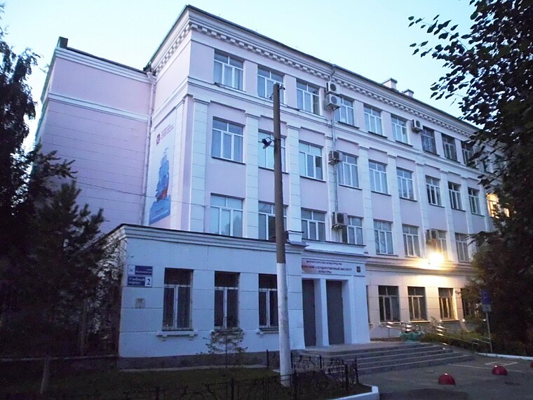
Photo: Ural-66, CC BY-SA 4.0.
Chelyabinsk State Academy of Culture and Arts is an university, which is situated 270 metres north of Administratsiya Sovetskogo Rayona.
Chelyabinsk railway history museum
Museum
 Chelyabinsk railway history museum is situated 250 metres south of Administratsiya Sovetskogo Rayona.
Ural State University of Physical Culture
University

Photo: IvanA, CC BY-SA 4.0.
Ural State University of Physical Culture is situated 400 metres northeast of Administratsiya Sovetskogo Rayona.
Places in the Area
Nearby places include Chelyabinsk and Chelyabinsk city boron.
Chelyabinsk

Photo: Anthony Ivanoff, Public domain.
Chelyabinsk is a big city, with more than a million inhabitants, the capital of Chelyabinsk Oblast in the European part of Russia.
Chelyabinsk city boron
Locality

Photo: Shoorick, CC BY-SA 3.0.
Chelyabinsk city boron is a locality, which is situated 4½ km west of Administratsiya Sovetskogo Rayona.
Administratsiya Sovetskogo Rayona
- Type: Administrative facility
- Category: government building
- Location: Chelyabinsk Oblast, Urals, Russia, Eastern Europe, Europe
- View on OpenStreetMap
Latitude
55.15156° or 55° 9′ 6″ northLongitude
61.41234° or 61° 24′ 44″ eastElevation
245 metres (804 feet)Open location code
9J735C26+JWGeoNames ID
8431879
This page is based on GeoNames, Wikidata, and Wikimedia Commons.
We’d love your help improving our open data sources. Thank you for contributing.
Satellite Map
Discover Administratsiya Sovetskogo Rayona from above in high-definition satellite imagery.
In Other Languages
“Administratsiya Sovetskogo Rayona” goes by many names.
- Russian: “Администрация Советского Района”
Places with the Same Name
Discover other places named “Administratsiya Sovetskogo Rayona”.
Localities in the Area
Explore places such as Uritskogo and Dezhurnyy.
Nearby Places
Explore places such as Ulitsa Svobody and Administratsiya Goroda Chelyabinsk.
Chelyabinsk Oblast: Must-Visit Destinations
Delve into Chelyabinsk, Magnitogorsk, and Zlatoust.
Curious Administrative Facilities to Discover
Uncover intriguing administrative facilities from every corner of the globe.
About Mapcarta. Text is available under the CC BY-SA 4.0 license, except for photos, directions, and the map. Photo: Ymblanter, CC BY-SA 3.0.