311 Chico nte 2o sector
311 Chico nte 2o sector is a bus stop in Chapinero, Bogotá D.C., Bogotá and has an elevation of 2,591 metres. 311 Chico nte 2o sector is situated nearby to the government office Embassy of China, as well as near Embassy of Brazil.| Tap on a place to explore it |
Places of Interest Nearby
Highlights include Parque 93 and Embassy of China.
Parque 93

Photo: Pedro Felipe, CC BY-SA 3.0.
Parque 93 is the centerpiece of a section of Bogotá, just north of the Zona Rosa. The whole neighborhood is a lovely place for walking, and has great restaurants and nightlife—especially in the park itself.
Embassy of China
Government office
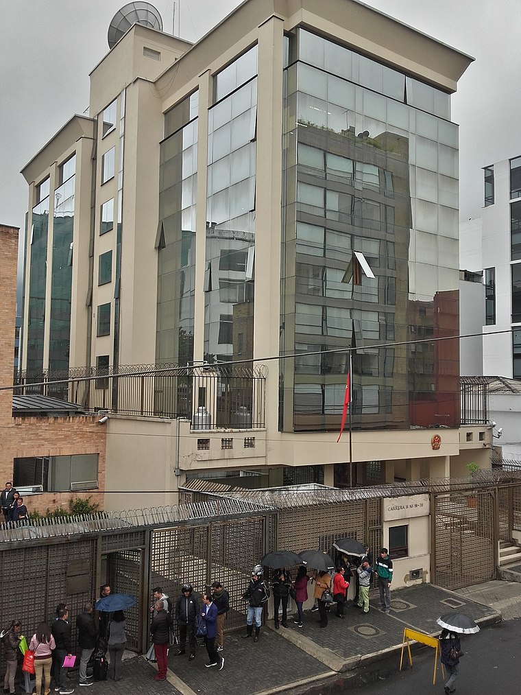
Photo: EEIM, CC BY-SA 3.0.
Embassy of China is a government office, which is situated 290 metres north of 311 Chico nte 2o sector.
Embassy of Brazil
Government office

Photo: Aquintero82, CC BY-SA 4.0.
Embassy of Brazil is a government office, which is situated 510 metres southwest of 311 Chico nte 2o sector.
Places in the Area
Nearby places include La Castellana and Zona Rosa.

Zona Rosa

Photo: Elberth Andres, CC BY-SA 3.0.
Zona Rosa, also known as "Zona T" for the T-shaped area at its heart, is one of Bogotá's major shopping and entertainment districts, home to Michelin star restaurants, five-star hotels and resorts, luxury shops and boutiques.
Chapinero
Suburb

Photo: Pedro Felipe, CC BY-SA 3.0.
Chapinero is the 2nd locality of Bogotá, capital of Colombia. It is located in the north of the city and is one of the more affluent districts of the city. Chapinero is situated 2½ km south of 311 Chico nte 2o sector.
311 Chico nte 2o sector
- Type: Bus stop
- Category: transportation
- Location: Chapinero, Bogotá D.C., Bogotá, Andino, Colombia, South America
- View on OpenStreetMap
Latitude
4.681° or 4° 40′ 52″ northLongitude
-74.04964° or 74° 2′ 59″ westElevation
2,591 metres (8,501 feet)Open location code
67P7MXJ2+94GeoNames ID
10859703
This page is based on GeoNames, Wikidata, and Wikimedia Commons.
We’d love your help improving our open data sources. Thank you for contributing.
Satellite Map
Discover 311 Chico nte 2o sector from above in high-definition satellite imagery.
Localities in the Area
Explore places such as Chicó and Rincón del Chicó.
Nearby Places
Explore places such as Exe Bacata 95 and Belle Epoque Suites Boutique.
Bogotá: Must-Visit Destinations
Delve into La Candelaria, Zona Rosa, Santa Fé-Los Mártires, and Usaquén.
Curious Bus Stops to Discover
Uncover intriguing bus stops from every corner of the globe.
About Mapcarta. Text is available under the CC BY-SA 4.0 license, except for photos, directions, and the map. Photo: Wikimedia, CC BY-SA 3.0.