Arıkalesi Tepesi
Arıkalesi Tepesi is a hill in Alanya, Antalya Province and has an elevation of 47 metres. Arıkalesi Tepesi is situated nearby to the area Gerpelit Alanı, as well as near the locality Kuloğlu.| Tap on a place to explore it |
Places of Interest
Highlights include Hamaxia.
Hamaxia
Archaeological site
Hamaxia was a town in the east of ancient Pamphylia or in the west of Cilicia. It had a good roadstead for ships, and excellent cedars for ship-building.
Places in the Area
Nearby places include Elikesik and Konakli.
Elikesik
Village
Elikesik is a neighbourhood in the municipality and district of Alanya, Antalya Province, Turkey. Its population is 2,118.
Konakli
Suburb
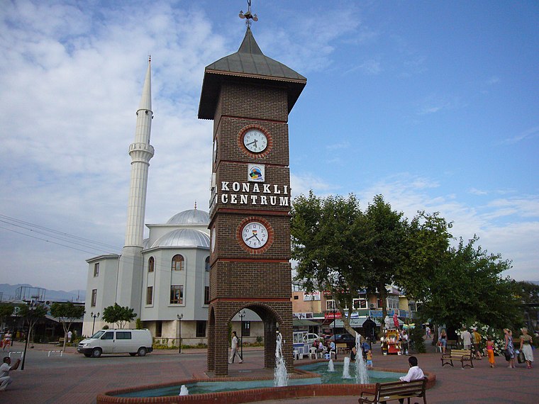
Photo: Leonid Dzhepko, CC BY-SA 3.0.
Konaklı is a neighbourhood in the municipality and district of Alanya, Antalya Province, Turkey. Its population is 17,966. Before the 2013 reorganisation, it was a town. Konakli is situated 3½ km northwest of Arıkalesi Tepesi.
Hacımehmetli
Suburb
Hacımehmetli is a neighbourhood in the municipality and district of Alanya, Antalya Province, Turkey. Its population is 2,144. Hacımehmetli is situated 4 km east of Arıkalesi Tepesi.
Arıkalesi Tepesi
- Type: Hill with an elevation of 47 metres
- Also known as: “Arikalesi Tepesi”
- Category: landform
- Location: Alanya, Antalya Province, Turkey, Middle East, Asia
- View on OpenStreetMap
Latitude
36.57341° or 36° 34′ 24″ northLongitude
31.92633° or 31° 55′ 35″ eastElevation
47 metres (154 feet)Open location code
8G8HHWFG+9GGeoNames ID
13260527
This page is based on GeoNames, Wikidata, and Wikimedia Commons.
We’d love your help improving our open data sources. Thank you for contributing.
Satellite Map
Discover Arıkalesi Tepesi from above in high-definition satellite imagery.
In Other Languages
“Arıkalesi Tepesi” goes by many names.
- Turkish: “Arıkalesi Tepesi”
Localities in the Area
Explore places such as Gerpelit Alanı and Kuloğlu.
Notable Places Nearby
Highlights include Kaşıkçı Tepesi and Çandır Tepesi.
Turkey: Must-Visit Destinations
Delve into Istanbul, Edirne, Ankara, and Izmir.
Curious Places to Discover
Uncover intriguing places from every corner of the globe.
About Mapcarta. Text is available under the CC BY-SA 4.0 license, except for photos, directions, and the map. Photo: Kallerna, CC BY-SA 3.0.