Beroepskleding Landuyt
Beroepskleding Landuyt is a clothing store in Zonnebeke, Arrondissement of Ypres, Flanders which is located on Stationstraat. Beroepskleding Landuyt is situated nearby to the village Passendale, as well as near the town Moorslede.| Tap on a place to explore it |
Places of Interest Nearby
Highlights include Sint-Audomaruskerk and Sint-Martinuskerk.
Sint-Audomaruskerk
Church

Photo: LimoWreck, CC BY-SA 3.0.
Sint-Audomaruskerk is a church, which is situated 1¼ km northwest of Beroepskleding Landuyt.
Sint-Martinuskerk
Church

Photo: LimoWreck, CC BY-SA 3.0.
Sint-Martinuskerk is a church, which is situated 2 km east of Beroepskleding Landuyt.
Statue Constant Lievens
Memorial

Photo: Zeisterre, CC BY-SA 4.0.
Statue Constant Lievens is a memorial, which is situated 2 km east of Beroepskleding Landuyt.
Places in the Area
Nearby places include Passendale and Moorslede.
Passendale
Village
Photo: LimoWreck, CC BY-SA 3.0.
Passendale or Passchendaele is a rural Belgian village in the Zonnebeke municipality of West Flanders province. It is close to the town of Ypres, situated on the hill ridge separating the historical wetlands of the Yser and Leie valleys.
Moorslede
Town
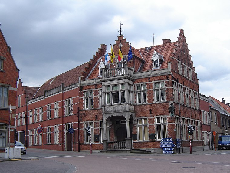
Photo: LimoWreck, CC BY-SA 3.0.
Moorslede is a municipality located in the Belgian province of West Flanders. The municipality comprises the towns of Dadizele, Slypskapelle and Moorslede proper. On 1 January 2006, Moorslede had a total population of 10,618. The total area is 35.34 km.
Zonnebeke
Town

Photo: LimoWreck, CC BY-SA 3.0.
Zonnebeke is a municipality located in the Belgian province of West Flanders. The municipality comprises the villages of Beselare, Gheluvelt, Passendale, Zandvoorde and Zonnebeke proper. Zonnebeke is situated 4½ km southwest of Beroepskleding Landuyt.
Beroepskleding Landuyt
- Type: Clothing store
- Address: Stationstraat 302, Moorslede, Moorslede, 8890
- Category: shop
- Location: Zonnebeke, Arrondissement of Ypres, West Flanders, Flanders, Belgium, Benelux, Europe
- View on OpenStreetMap
Latitude
50.8953° or 50° 53′ 43″ northLongitude
3.03709° or 3° 2′ 14″ eastOpen location code
9F25V2WP+4ROpenStreetMap ID
node 1014017759OpenStreetMap feature
shop=clothes
This page is based on OpenStreetMap, Wikidata, and Wikimedia Commons.
We’d love your help improving our open data sources. Thank you for contributing.
Satellite Map
Discover Beroepskleding Landuyt from above in high-definition satellite imagery.
Notable Places Nearby
Highlights include Parochiaal Centrum De Craeye and JC De 4link.
Nearby Places
Explore places such as Moorslede Station and Kaasdaele.
West Flanders: Must-Visit Destinations
Delve into Bruges, Kortrijk, Ypres, and Ostend.
Curious Clothing Stores to Discover
Uncover intriguing clothing stores from every corner of the globe.
About Mapcarta. Data © OpenStreetMap contributors and available under the Open Database License". Text is available under the CC BY-SA 4.0 license, except for photos, directions, and the map. Photo: MJJR, CC BY 3.0.