Eddy Merckx route
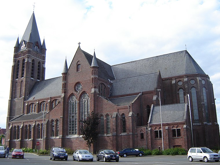
Eddy Merckx route is a work of art in Kluisbergen, Arrondissement of Oudenaarde, Flanders. Eddy Merckx route is situated nearby to the church Sint-Corneliuskerk, as well as near the cemetery Begraafplaats Ruien.| Tap on a place to explore it |
Places of Interest Nearby
Highlights include Sint-Corneliuskerk and Brug van de Waterhoek.

Brug van de Waterhoek
Bridge

Photo: Wikimedia, Public domain.
Brug van de Waterhoek is a bridge, which is situated 1 km west of Eddy Merckx route.

Places in the Area
Nearby places include Avelgem and Berchem.
Avelgem
 Avelgem is a town in the Belgian province of West Flanders. The municipality has more than 10,000 inhabitants. Avelgem is in the extreme southeast of the province, southeast of Kortrijk, along the Scheldt, against the border with the provinces of East Flanders and Hainaut.

Kwaremont
Village

Photo: Spotter2, CC BY-SA 3.0.
Kwaremont is a village, which is situated 2½ km east of Eddy Merckx route.
Eddy Merckx route
- Type: Work of art
- Category: tourism
- Location: Kluisbergen, Arrondissement of Oudenaarde, East Flanders, Flanders, Belgium, Benelux, Europe
- View on OpenStreetMap
Latitude
50.77328° or 50° 46′ 24″ northLongitude
3.48609° or 3° 29′ 10″ eastOpen location code
9F25QFFP+8COpenStreetMap ID
node 11053706073OpenStreetMap feature
tourism=artwork
This page is based on OpenStreetMap, Wikidata, and Wikimedia Commons.
We’d love your help improving our open data sources. Thank you for contributing.
Satellite Map
Discover Eddy Merckx route from above in high-definition satellite imagery.
Notable Places Nearby
Highlights include Begraafplaats Ruien and GOC Ruien.
Nearby Places
Explore places such as Het Zevende Zegel and Ruien Hazestraat.
East Flanders: Must-Visit Destinations
Delve into Ghent, Aalst, Sint-Niklaas, and Dendermonde.
Curious Work Of Arts to Discover
Uncover intriguing work of arts from every corner of the globe.
About Mapcarta. Data © OpenStreetMap contributors and available under the Open Database License". Text is available under the CC BY-SA 4.0 license, except for photos, directions, and the map. Photo: Paul Hermans, CC BY-SA 3.0.