Västra Primusparken
Västra Primusparken is a park in Stockholm Municipality, Stockholm County which is located on Primusgatan. Västra Primusparken is situated nearby to the bridge Essingebron, as well as near the marina Lilla Essinge Båtklubb.| Tap on a place to explore it |
Places of Interest Nearby
Highlights include Essingebron and Fredhällsbron.
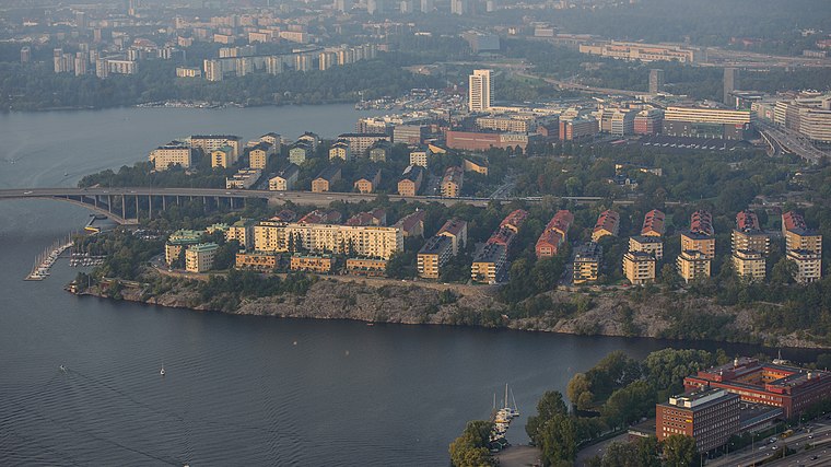
Essingebron
Bridge

Photo: ArildV, CC BY-SA 4.0.
Essingebron are two parallel bridges in central Stockholm, Sweden, inaugurated August 21, 1966, and September 3, 1967. Forming a section of the Essingeleden motorway they connect the two islands Stora Essingen and Lilla Essingen and are the most heavily trafficked bridges in Sweden. Essingebron is situated 190 metres south of Västra Primusparken.
Fredhällsbron
Bridge

Photo: Holger.Ellgaard, CC BY-SA 3.0.
Fredhällsbron is a bridge in central Stockholm, Sweden. It connects the island Lilla Essingen to Fredhäll, a district on the island Kungsholmen, and, forming a section of the Essingeleden motorway, connects the Lilla Essingen interchange to the tunnel Fredhällstunneln. Fredhällsbron is situated 350 metres east of Västra Primusparken.
Broparken
Park

Photo: Esquilo, CC BY-SA 3.0.
Broparken is situated 490 metres south of Västra Primusparken.
Places in the Area
Nearby places include Fredhäll and Marieberg.
Marieberg
Suburb

Photo: Holger.Ellgaard, CC BY-SA 3.0.
Marieberg is a district located on the island of Kungsholmen in Stockholm City Centre, Sweden. Marieberg is part of the Borough of Kungsholmen. It is located west of Fridhemsgatan/Riddarfjärden, south of Drottningholmsvägen and east of Essingeleden/Viktor Rydbergs gata.
Västra Primusparken
- Type: Park
- Address: Primusgatan, Stockholm, 112 62
- Category: recreation area
- Location: Stockholm Municipality, Stockholm County, Svealand, Sweden, Nordic countries, Europe
- View on OpenStreetMap
Latitude
59.32527° or 59° 19′ 31″ northLongitude
18.00003° or 18° 0′ 0″ eastOpen location code
9FFW82G2+42OpenStreetMap ID
node 11154427633OpenStreetMap feature
leisure=park
This page is based on OpenStreetMap, Wikidata, and Wikimedia Commons.
We’d love your help improving our open data sources. Thank you for contributing.
Satellite Map
Discover Västra Primusparken from above in high-definition satellite imagery.
Notable Places Nearby
Highlights include Lilla Essinge Båtklubb and Essinge Båtklubb.
Nearby Places
Explore places such as Västra Primusparken and Primusgatan.
Stockholm County: Must-Visit Destinations
Delve into Stockholm, Södermalm, Södertälje, and Norrmalm.
Curious Parks to Discover
Uncover intriguing parks from every corner of the globe.
About Mapcarta. Data © OpenStreetMap contributors and available under the Open Database License". Text is available under the CC BY-SA 4.0 license, except for photos, directions, and the map. Photo: Smiley.toerist, CC BY-SA 4.0.