Hüseyinahmet
Hüseyinahmet is a neighborhood in Akkuş, Ordu. Hüseyinahmet is situated nearby to the village Karaçal, as well as near the neighborhood Eğlenceli.| Tap on a place to explore it |
Places in the Area
Nearby places include Yukarıdüğencili and Akkuş.
Yukarıdüğencili
Village
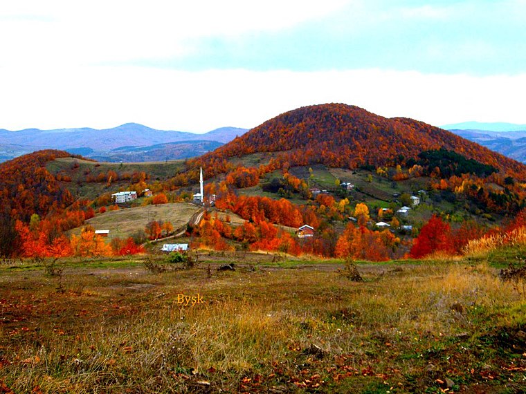
Photo: Bysk86, CC BY-SA 3.0.
Yukarıdüğencili is a village, which is situated 4½ km northwest of Hüseyinahmet.
Akkuş
Town

Photo: Bysk86, CC BY-SA 3.0.
Akkuş is a municipality and district of Ordu Province, Turkey. Its area is 697 km2, and its population is 21,258. The town lies at an elevation of 1,313 m. Akkuş is situated 9 km northwest of Hüseyinahmet.
Hüseyinahmet
- Type: Neighborhood
- Category: locality
- Location: Akkuş, Ordu, Turkey, Middle East, Asia
- View on OpenStreetMap
Latitude
40.71644° or 40° 42′ 59″ northLongitude
37.06463° or 37° 3′ 53″ eastOpen location code
8GGVP387+HVOpenStreetMap ID
node 11202300166OpenStreetMap feature
place=neighbourhood
This page is based on OpenStreetMap, Wikidata, and Wikimedia Commons.
We’d love your help improving our open data sources. Thank you for contributing.
Satellite Map
Discover Hüseyinahmet from above in high-definition satellite imagery.
Localities in the Area
Explore places such as Karaçal and Eğlenceli.
Notable Places Nearby
Highlights include HES and Körük Tepesi.
Turkey: Must-Visit Destinations
Delve into Istanbul, Edirne, Ankara, and Izmir.
Curious Neighborhoods to Discover
Uncover intriguing neighborhoods from every corner of the globe.
About Mapcarta. Data © OpenStreetMap contributors and available under the Open Database License". Text is available under the CC BY-SA 4.0 license, except for photos, directions, and the map. Photo: Moonik, CC BY-SA 3.0.