Valgdirektoratet
Valgdirektoratet is a government office in Vestfold, East Norway, Innlandet. Valgdirektoratet is situated nearby to the government office Direktorat for samfunnssikkerhet og beredskap, as well as near the playground Kaldnes Lekeplass.| Tap on a place to explore it |
Places of Interest Nearby
Highlights include Tønsberg and Færder Public Library and Tønsberg Cathedral.
Tønsberg and Færder Public Library
Library

Photo: PeterFisk, CC BY-SA 3.0.
Tønsberg and Færder Public Library is situated 370 metres northeast of Valgdirektoratet.
Tønsberg Cathedral
Church

Photo: PeterFisk, CC BY-SA 3.0.
Tønsberg Cathedral is a cathedral that is the episcopal seat of the Diocese of Tunsberg within the Church of Norway. It is located in the centre of the city of Tønsberg in Tønsberg Municipality in Vestfold county, Norway. Tønsberg Cathedral is situated 580 metres north of Valgdirektoratet.
Alti Farmandstredet
Shopping center
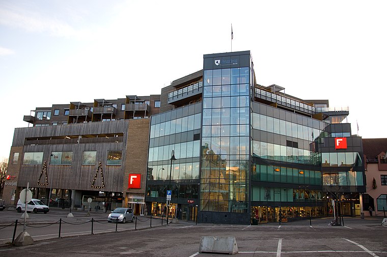
Photo: PeterFisk, CC BY-SA 3.0.
Alti Farmandstredet is a shopping center, which is situated 720 metres northeast of Valgdirektoratet.
Places in the Area
Nearby places include Kaldnes and Tønsberg.

Tønsberg

Photo: PeterFisk, CC BY-SA 3.0.
Tønsberg is a town in Vestfold county. It is the oldest town in Norway. The town has about 56,000 inhabitants. Tønsberg is also surrounded by some of the county's major tourist attractions, including old viking graves and museums.
Teie
Suburb
Teie is a village on the island of Nøtterøy in Vestfold county, Norway. The village is located within the city of Tønsberg and it straddles the border between Tønsberg Municipality and Færder Municipality.
Valgdirektoratet
- Email: post@valg.no
- Type: Government office
- Categories: office and government building
- Location: Vestfold, East Norway, Alvdal, Innlandet, Norway, Nordic countries, Europe
- View on OpenStreetMap
Latitude
59.26397° or 59° 15′ 50″ northLongitude
10.40446° or 10° 24′ 16″ eastOpen location code
9FFG7C73+HQOpenStreetMap ID
node 11283194079OpenStreetMap feature
office=government
This page is based on OpenStreetMap, Wikidata, and Wikimedia Commons.
We’d love your help improving our open data sources. Thank you for contributing.
Satellite Map
Discover Valgdirektoratet from above in high-definition satellite imagery.
Notable Places Nearby
Highlights include Direktorat for samfunnssikkerhet og beredskap and Kaldnes Lekeplass.
Nearby Places
Explore places such as Kaldnes tannhelse and Spar Kaldnes brygge.
Vestfold: Must-Visit Destinations
Delve into Tønsberg, Larvik, Sandefjord, and Horten.
Curious Government Offices to Discover
Uncover intriguing government offices from every corner of the globe.
About Mapcarta. Data © OpenStreetMap contributors and available under the Open Database License". Text is available under the CC BY-SA 4.0 license, except for photos, directions, and the map. Photo: Wikimedia, CC0.