Bishopsgate House helipad
Bishopsgate House helipad is a helipad in Runnymede District, Surrey, England. Bishopsgate House helipad is situated nearby to Cow Pond, as well as near Bishopsgate School.| Tap on a place to explore it |
Places of Interest Nearby
Highlights include Savill Garden and Savill Building.
Savill Garden
Garden
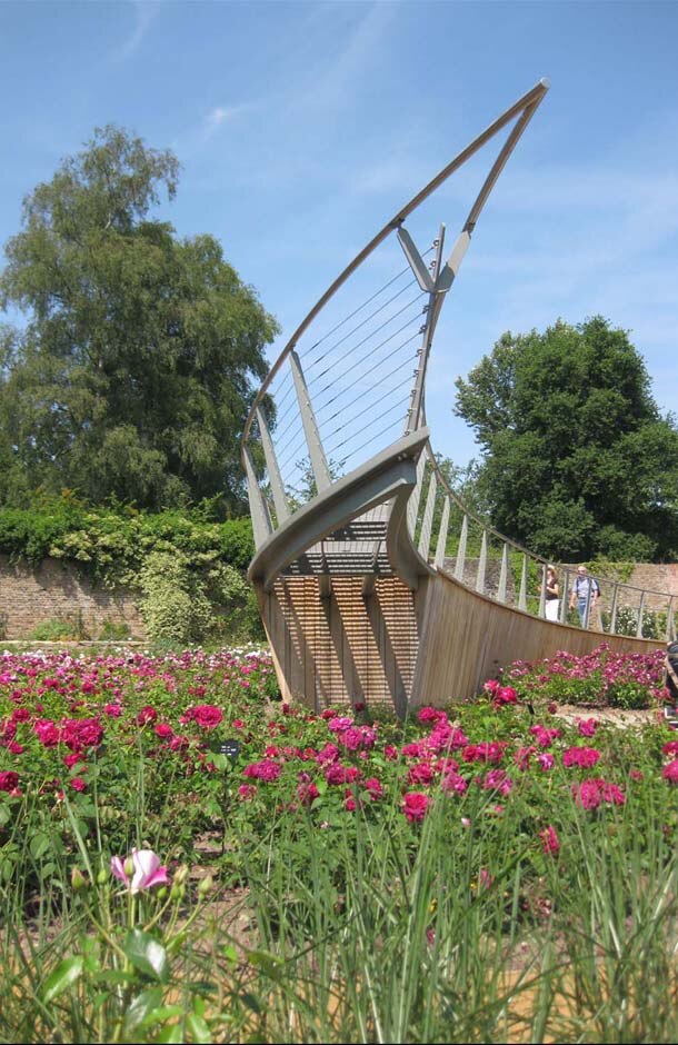
Photo: Avantgardner, CC BY-SA 3.0.
The Savill Garden is an enclosed part of Windsor Great Park in England, created by Sir Eric Savill in the 1930s. It is managed by the Crown Estate and charges an entrance fee.
Savill Building
Tourism office

Photo: Colin Smith, CC BY-SA 2.0.
The Savill Building is a visitor centre at the entrance to The Savill Garden in Windsor Great Park, Surrey, England designed by Glen Howells Architects, Buro Happold and Engineers Haskins Robinson Waters. It was opened by the Duke of Edinburgh on 26 June 2006. Savill Building is situated 3,800 feet south of Bishopsgate House helipad.
Cumberland Obelisk
Obelisk

Photo: Derek Harper, CC BY-SA 2.0.
Cumberland Obelisk is situated 1 mile south of Bishopsgate House helipad.
Places in the Area
Nearby places include Englefield Green and Old Windsor.
Englefield Green
Village
 Englefield Green is a large village in the Borough of Runnymede, Surrey, England, approximately 20 miles west of central London. It is home to Runnymede Meadow, The Commonwealth Air Forces Memorial, The Savill Garden, and Royal Holloway, University of London.
Old Windsor
Village

Photo: Basher Eyre, CC BY-SA 2.0.
Old Windsor is a village and civil parish, in the Royal Borough of Windsor and Maidenhead, in Berkshire, England. It is bounded by the River Thames to the east and the Windsor Great Park to the west. Old Windsor is situated 1½ miles north of Bishopsgate House helipad.
Egham
Town

Photo: Colin Smith, CC BY-SA 2.0.
Egham is a town in the Borough of Runnymede in Surrey, England, approximately 19 miles west of central London. First settled in the Bronze Age, the town was under the control of Chertsey Abbey for much of the Middle Ages. Egham is situated 2 miles east of Bishopsgate House helipad.
Bishopsgate House helipad
- Type: Helipad
- Category: transportation
- Location: Runnymede District, Surrey, South East England, England, United Kingdom, Britain and Ireland, Europe
- View on OpenStreetMap
Latitude
51.43651° or 51° 26′ 12″ northLongitude
-0.59276° or 0° 35′ 34″ westOpen location code
9C3XCCP4+JVOpenStreetMap ID
node 11753725904OpenStreetMap feature
aeroway=helipad
This page is based on OpenStreetMap, Wikidata, and Wikimedia Commons.
We’d love your help improving our open data sources. Thank you for contributing.
Satellite Map
Discover Bishopsgate House helipad from above in high-definition satellite imagery.
Notable Places Nearby
Highlights include Cow Pond and Bishopsgate School.
Nearby Places
Explore places such as Dell Park Farm and The Fox & Hounds.
Surrey: Must-Visit Destinations
Delve into Guildford, Woking, Godalming, and Epsom.
Curious Helipads to Discover
Uncover intriguing helipads from every corner of the globe.
About Mapcarta. Data © OpenStreetMap contributors and available under the Open Database License". Text is available under the CC BY-SA 4.0 license, except for photos, directions, and the map. Photo: Wikimedia, CC0.