Ming’s Living
Ming’s Living is a curtain shop in Singapore. Ming’s Living is situated nearby to the food court Thye Guan Eating House, as well as near Sam’s Studio.| Tap on a place to explore it |
Places of Interest Nearby
Highlights include Jalan Besar Stadium and Bendemeer.
Jalan Besar Stadium
Stadium
 Jalan Besar Stadium, officially the Jalan Besar ActiveSG Stadium, is a football stadium located in Kallang, Singapore. The stadium is part of the Jalan Besar Sports and Recreation Centre, a community sports facility. Jalan Besar Stadium is situated 390 metres southwest of Ming’s Living.
Bendemeer
Metro station

Photo: Seloloving, CC BY-SA 4.0.
Bendemeer MRT station is an underground Mass Rapid Transit station on the Downtown Line in East of Rochor, Singapore. Despite its name, the station is not located under Bendemeer Road, but under Kallang Bahru. Bendemeer is situated 270 metres north of Ming’s Living.
Lavender
Metro station

Photo: Advanced, Public domain.
Lavender MRT station is an underground Mass Rapid Transit station on the East–West Line in Kallang, Singapore. Located under Kallang Road, the station is close to the Immigration and Checkpoints Authority Building and Jalan Besar stadium. Lavender is situated 450 metres south of Ming’s Living.
Places in the Area
Nearby places include Kallang and Bendemeer.
Kallang
Suburb
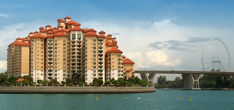
Photo: Wikimedia, CC BY-SA 2.0.
Kallang is a planning area and residential zone located in the Central Region of Singapore. Development of the town is centered around the Kallang River, the longest river in Singapore.
Bendemeer
Suburb
Bendemeer is a subzone within the planning area of Kallang, Singapore, as defined by the Urban Redevelopment Authority. Its boundary is made up of the Pan Island Expressway in the north; Serangoon Road, the Kallang River, Sungei Whampoa, and Bendemeer Road in the east; Lavender Street and Balestier Road in the south; and the Central Expressway in the west.
Crawford
Suburb
Crawford is a subzone within the planning area of Kallang, Singapore, as defined by the Urban Redevelopment Authority. Its perimeter is made up of Rochor River and Rochor Canal in the north; Crawford Street, Nicoll Highway, Kallang Basin and Marina Channel in the east; East Coast Parkway in the south; as well as Ophir Road, Beach Road and Jalan Sultan in the west.
Ming’s Living
- Type: Curtain shop
- Category: shop
- Location: Singapore, Southeast Asia, Asia
- View on OpenStreetMap
Latitude
1.31136° or 1° 18′ 41″ northLongitude
103.86353° or 103° 51′ 49″ eastOpen location code
6PH58V67+GCOpenStreetMap ID
node 11802121095OpenStreetMap feature
shop=curtain
This page is based on OpenStreetMap, Wikidata, and Wikimedia Commons.
We’d love your help improving our open data sources. Thank you for contributing.
Satellite Map
Discover Ming’s Living from above in high-definition satellite imagery.
Notable Places Nearby
Highlights include Thye Guan Eating House and Sam’s Studio.
Nearby Places
Explore places such as InteReno and Boon Lay Stationery.
Singapore: Must-Visit Destinations
Delve into Singapore Changi Airport, Sentosa and Harbourfront, North and West, and Riverside.
Curious Curtain Shops to Discover
Uncover intriguing curtain shops from every corner of the globe.
About Mapcarta. Data © OpenStreetMap contributors and available under the Open Database License". Text is available under the CC BY-SA 4.0 license, except for photos, directions, and the map. Photo: Khairul Nizam, CC BY 2.0.