Monte Besum
Monte Besum is a peak in Provaglio Val Sabbia, Province of Brescia, Lombardy and has an elevation of 1,115 metres. Monte Besum is situated nearby to the locality Prat de Ruca, as well as near Selva.| Tap on a place to explore it |
Places of Interest
Highlights include Comune di Provaglio Val Sabbia and Comune di Treviso Bresciano.
Comune di Provaglio Val Sabbia
Town hall

Photo: Cesarepasini, CC BY-SA 4.0.
Comune di Provaglio Val Sabbia is a town hall.
Comune di Treviso Bresciano
Town hall

Photo: Rexcornot, CC BY-SA 4.0.
Comune di Treviso Bresciano is a town hall.
Places in the Area
Nearby places include Vobarno and Nozza.
Vobarno
Village

Photo: Andrix 1997, CC BY-SA 4.0.
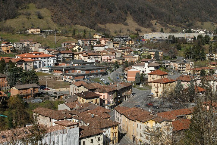
Vobarno is a town and comune of the Province of Brescia in the Italian region of Lombardy, at 246 metres above sea-level, with about 8,300 inhabitants. It is situated on the river Chiese, 5 km north of Salò and Lake Garda.
Monte Besum
- Type: Peak with an elevation of 1,115 metres
- Category: landform
- Location: Provaglio Val Sabbia, Province of Brescia, Lombardy, Northwest Italy, Italy, Europe
- View on OpenStreetMap
Latitude
45.6877° or 45° 41′ 16″ northLongitude
10.4688° or 10° 28′ 8″ eastElevation
1,115 metres (3,658 feet)Open location code
8FQGMFQ9+3GOpenStreetMap ID
node 1180990843OpenStreetMap feature
natural=peak
This page is based on OpenStreetMap, Wikidata, and Wikimedia Commons.
We’d love your help improving our open data sources. Thank you for contributing.
Satellite Map
Discover Monte Besum from above in high-definition satellite imagery.
Localities in the Area
Explore places such as Prat de Ruca and Selva.
Notable Places Nearby
Highlights include Chiesetta del Partigiano and Passo Gioiello.
Lombardy: Must-Visit Destinations
Delve into Milan, Bergamo, Brescia, and Mantua.
Curious Peaks to Discover
Uncover intriguing peaks from every corner of the globe.
About Mapcarta. Data © OpenStreetMap contributors and available under the Open Database License". Text is available under the CC BY-SA 4.0 license, except for photos, directions, and the map. Photo: Lkcl it, CC BY-SA 3.0.