Shell Coles Express Newstead
Shell Coles Express Newstead is a convenience store in Brisbane, Queensland which is located on Breakfast Creek Road. Shell Coles Express Newstead is situated nearby to the church Our Lady of Victories, as well as near the playground Meta3 VR Experience.| Tap on a place to explore it |
- Opening hours: 24/7
- Type: Convenience store
- Address: 94 Breakfast Creek Road, Newstead, 4006
Places of Interest Nearby
Highlights include Bowen Hills railway station and Newstead House.
Bowen Hills railway station
Railway station

Photo: TravellerQLD, CC BY-SA 3.0.
Bowen Hills railway station is located on the North Coast line in Queensland, Australia. It serves the Brisbane suburb of Bowen Hills. North of the station, the Ferny Grove line branches off. Bowen Hills railway station is situated 470 metres west of Shell Coles Express Newstead.
Newstead House
Historic building
 Newstead House is Brisbane's oldest surviving residence and is located on the Breakfast Creek bank of the Brisbane River, in the northern Brisbane suburb of Newstead, in Queensland, Australia. Newstead House is situated 570 metres northeast of Shell Coles Express Newstead.
Fortitude Valley
Railway station

Photo: ウィ貴公子, CC BY-SA 4.0.
Fortitude Valley railway station is located on the North Coast line in Queensland, Australia. Located beneath the Valley Metro complex, it serves the central Brisbane suburb of Fortitude Valley. Fortitude Valley is situated 1¼ km southwest of Shell Coles Express Newstead.
Places in the Area
Nearby places include Albion and Spring Hill.
Albion
Suburb
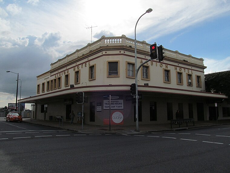
Photo: Orderinchaos, CC BY-SA 3.0.
Albion is an inner north-eastern suburb in the City of Brisbane, Queensland, Australia. In the 2021 census, Albion had a population of 3,446 people.
Spring Hill
Suburb
Spring Hill is an inner northern suburb in the City of Brisbane, Queensland, Australia. In the 2021 census, Spring Hill had a population of 6,593 people.
Hawthorne
Suburb
Hawthorne is a suburb of the City of Brisbane, Queensland, Australia. In the 2021 census, Hawthorne had a population of 5,090 people. Hawthorne is situated 2½ km southeast of Shell Coles Express Newstead.
Shell Coles Express Newstead
- Categories: gas station, shop, and food
- Location: Brisbane, Queensland, Australia, Oceania
- View on OpenStreetMap
Latitude
-27.44637° or 27° 26′ 47″ southLongitude
153.04221° or 153° 2′ 32″ eastBrand
ShellOperator
ShellOpen location code
5R4MH23R+FVOpenStreetMap ID
node 11984814903OpenStreetMap feature
amenity=fuelOpenStreetMap feature
shop=convenience
This page is based on OpenStreetMap, Wikidata, and Wikimedia Commons.
We’d love your help improving our open data sources. Thank you for contributing.
Satellite Map
Discover Shell Coles Express Newstead from above in high-definition satellite imagery.
Notable Places Nearby
Highlights include Our Lady of Victories and Meta3 VR Experience.
Nearby Places
Explore places such as Coles Express and Breakfast Creek Rd at Evelyn Street Stop 10.
Queensland: Must-Visit Destinations
Delve into Brisbane, Gold Coast, Sunshine Coast, and Cairns.
Curious Convenience Stores to Discover
Uncover intriguing convenience stores from every corner of the globe.
About Mapcarta. Data © OpenStreetMap contributors and available under the Open Database License". Text is available under the CC BY-SA 4.0 license, except for photos, directions, and the map. Photo: Wikimedia, CC0.