Caterplus@Pemberley Place
Caterplus@Pemberley Place is in Bath and North East Somerset, England. Caterplus@Pemberley Place is situated nearby to Lansdown Cemetery, as well as near the school Abbot Alphege Academy.| Tap on a place to explore it |
Places of Interest Nearby
Highlights include Beckford’s Tower and Lansdown Cemetery.
Beckford’s Tower
Museum

Photo: Wikimedia, Public domain.
Beckford's Tower, originally known as Lansdown Tower, is an architectural folly built in neo-classical style on Lansdown Hill, just outside Bath, Somerset, England. Beckford’s Tower is situated 700 feet west of Caterplus@Pemberley Place.
Lansdown Cemetery
Cemetery

Photo: Daderot, Public domain.
Beckford's Tower, originally known as Lansdown Tower, is an architectural folly built in neo-classical style on Lansdown Hill, just outside Bath, Somerset, England. Lansdown Cemetery is situated 580 feet southwest of Caterplus@Pemberley Place.
Ensleigh House
Residential building

Photo: Ian Capper, CC BY-SA 2.0.
Ensleigh House is a residential building, which is situated 840 feet southeast of Caterplus@Pemberley Place.
Places in the Area
Nearby places include Charlcombe and Lansdown.
Charlcombe
Suburb
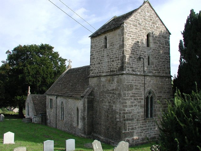
Photo: ChurchCrawler, CC BY-SA 2.0.
Charlcombe is a civil parish and small village just north of Bath in the Bath and North East Somerset unitary authority, Somerset, England. The parish had a population of 422 in 2011, and includes the villages of Woolley and Langridge and the hamlet of Lansdown.
Lansdown
Suburb

Photo: Virginia Knight, CC BY-SA 2.0.
Lansdown is a suburb of the World Heritage City of Bath, England, that extends northwards from the city centre up a road of the same name. Among its most distinctive architectural features are Lansdown Crescent and Sion Hill Place, which includes a campus…
Swainswick
Village

Photo: Sharon Loxton, CC BY-SA 2.0.
Swainswick is a small village and civil parish, 3 miles northeast of Bath, on the A46 in the Bath and North East Somerset unitary authority, Somerset, England.
Caterplus@Pemberley Place
- Type: Catering
- Category: workshop
- Location: Bath and North East Somerset, England, United Kingdom, Britain and Ireland, Europe
- View on OpenStreetMap
Latitude
51.40675° or 51° 24′ 24″ northLongitude
-2.37583° or 2° 22′ 33″ westOpen location code
9C3VCJ4F+MMOpenStreetMap ID
node 12043887279OpenStreetMap feature
craft=caterer
This page is based on OpenStreetMap, Wikidata, and Wikimedia Commons.
We’d love your help improving our open data sources. Thank you for contributing.
Satellite Map
Discover Caterplus@Pemberley Place from above in high-definition satellite imagery.
Notable Places Nearby
Highlights include Abbot Alphege Academy and Kingswood Upper School Playing Fields.
Nearby Places
Explore places such as Pemberley Place and SPAR Battle Walk.
England: Must-Visit Destinations
Delve into London, Manchester, Sheffield, and Leeds.
Curious Places to Discover
Uncover intriguing places from every corner of the globe.
About Mapcarta. Data © OpenStreetMap contributors and available under the Open Database License". Text is available under the CC BY-SA 4.0 license, except for photos, directions, and the map. Photo: sidibousaid, CC BY 2.0.