Davies Angling
Davies Angling is a fishing equipment store in Borough of Spelthorne, Surrey, England. Davies Angling is situated nearby to Staines Baptist Church, as well as near the movie theater Vue.| Tap on a place to explore it |
Places of Interest Nearby
Highlights include Staines Bridge and Church Island.
Staines Bridge
Bridge

Photo: Motmit, CC BY-SA 3.0.
Staines Bridge is a road bridge running in a south-west to north-east direction across the River Thames in Surrey. It is on the modern A308 road and links the boroughs of Spelthorne and Runnymede at Staines-upon-Thames and Egham Hythe. Staines Bridge is situated 750 feet southwest of Davies Angling.
Church Island
Islet

Photo: Nancy, CC BY-SA 3.0.
Church Island or Church Eyot is an inhabited island in the River Thames in England on the reach above Penton Hook Lock in Staines-upon-Thames, Spelthorne, Surrey.
St Mary’s, Staines
Church

Photo: Nigel Cox, CC BY-SA 2.0.
St Mary's, Staines, is a Church of England parish church in the town and parish of Staines-upon-Thames, in the Spelthorne borough of Surrey and the Greater London Urban Area. St Mary’s, Staines is situated 980 feet northwest of Davies Angling.
Places in the Area
Nearby places include Staines-upon-Thames and Hythe End.
Staines-upon-Thames
Town
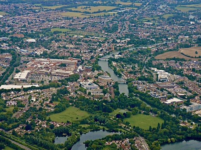
Photo: Thomas Nugent, CC BY-SA 2.0.
Staines-upon-Thames, commonly known simply as Staines, is a market town in northwest Surrey, England, around 17 miles west of central London. It is in the Borough of Spelthorne, at the confluence of the River Thames and Colne.

Egham
Town

Photo: Colin Smith, CC BY-SA 2.0.
Egham is a town in the Borough of Runnymede in Surrey, England, approximately 19 miles west of central London. First settled in the Bronze Age, the town was under the control of Chertsey Abbey for much of the Middle Ages.
Davies Angling
- Type: Fishing equipment store
- Category: shop
- Location: Borough of Spelthorne, Surrey, South East England, England, United Kingdom, Britain and Ireland, Europe
- View on OpenStreetMap
Latitude
51.435° or 51° 26′ 6″ northLongitude
-0.51511° or 0° 30′ 54″ westOpen location code
9C3XCFMM+XXOpenStreetMap ID
node 12066144244OpenStreetMap feature
shop=fishing
This page is based on OpenStreetMap, Wikidata, and Wikimedia Commons.
We’d love your help improving our open data sources. Thank you for contributing.
Satellite Map
Discover Davies Angling from above in high-definition satellite imagery.
Notable Places Nearby
Highlights include Staines Baptist Church and Vue.
Nearby Places
Explore places such as One Touch IT and Hobb’s Kitchen.
Surrey: Must-Visit Destinations
Delve into Guildford, Woking, Godalming, and Epsom.
Curious Fishing Equipment Stores to Discover
Uncover intriguing fishing equipment stores from every corner of the globe.
About Mapcarta. Data © OpenStreetMap contributors and available under the Open Database License". Text is available under the CC BY-SA 4.0 license, except for photos, directions, and the map. Photo: Wikimedia, CC0.