Tel Aviv Harbor/HaYarkon
Tel Aviv Harbor/HaYarkon is a bus stop in Tel Aviv, Israel. Tel Aviv Harbor/HaYarkon is situated nearby to Ironi He High School, as well as near Port and Blue Hotel.| Tap on a place to explore it |
Places of Interest Nearby
Highlights include Ironi He High School and Plumer Plaza.
Ironi He High School
School

Photo: Sharshar, CC BY-SA 3.0.
Ironi He High School, nicknamed The Dr. Shaul Levin Municipal High School is a secondary school on Ben Yehuda Street in Tel Aviv in the Northwest section of the Old North neighborhood of Tel Aviv, the only secondary school in the district.
Plumer Plaza
Square

Photo: Wikimedia, Public domain.
Plumer Plaza is a square, which is situated 240 metres northeast of Tel Aviv Harbor/HaYarkon.
Embassy of Ukraine
Government office
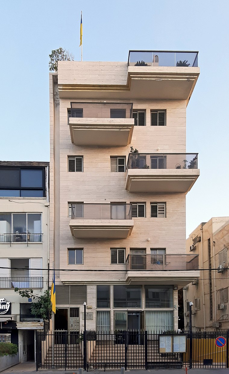
Photo: Andrew J.Kurbiko, CC BY-SA 4.0.
Israel–Ukraine relations are foreign relations between Israel and Ukraine. Both countries recognized each other on 11 May 1949 as the Ukrainian SSR and established de jure diplomatic relations on 26 December 1991 when Ukraine became independent. Embassy of Ukraine is situated 370 metres east of Tel Aviv Harbor/HaYarkon.
Places in the Area
Nearby places include Kochav HaTsafon and Tel Aviv.
Kochav HaTsafon
Suburb

Photo: Msacla, CC BY-SA 3.0.
Kokhav HaTzafon is a residential neighborhood in northwestern Tel Aviv, Israel.
Tel Aviv

Photo: Yaniv Ben-Arie, CC BY-SA 2.0.
Tel Aviv is the second largest city in Israel, and the largest metropolitan area. It is on the Mediterranean coast, about 60 km northwest of Jerusalem and 100 km south of Haifa.

Tel Aviv Harbor/HaYarkon
- Type: Bus stop
- Category: transportation
- Location: Tel Aviv, Israel, Middle East, Asia
- View on OpenStreetMap
Latitude
32.09596° or 32° 5′ 46″ northLongitude
34.77443° or 34° 46′ 28″ eastOpen location code
8G4P3QWF+9QOpenStreetMap ID
node 12172561609OpenStreetMap feature
highway=bus_stopOpenStreetMap feature
public_transport=platform
This page is based on OpenStreetMap, Wikidata, and Wikimedia Commons.
We’d love your help improving our open data sources. Thank you for contributing.
Satellite Map
Discover Tel Aviv Harbor/HaYarkon from above in high-definition satellite imagery.
In Other Languages
From Arabic to Hebrew—“Tel Aviv Harbor/HaYarkon” goes by many names.
- Arabic: “ميناء تل أبيب/اليَركون”
- Hebrew: “נמל תל אביב/הירקון”
Notable Places Nearby
Highlights include Port and Blue Hotel and בבילון פרק.
Nearby Places
Explore places such as Burger King and Pussycat Lounge.
Israel: Must-Visit Destinations
Delve into Tel Aviv, Carmel Range, Haifa, and Nazareth.
Curious Bus Stops to Discover
Uncover intriguing bus stops from every corner of the globe.
About Mapcarta. Data © OpenStreetMap contributors and available under the Open Database License". Text is available under the CC BY-SA 4.0 license, except for photos, directions, and the map. Photo: Bienchido, CC BY-SA 3.0.