Bar Paravang
Bar Paravang is a pub in West Flanders, Flanders. Bar Paravang is situated nearby to the water park Lago Abdijkaai, as well as near the lock Kortrijk 11.| Tap on a place to explore it |
Places of Interest Nearby
Highlights include Groeningebrug and Béguinage of Courtrai.
Groeningebrug
Bridge

Photo: Spotter2, CC BY-SA 3.0.
Groeningebrug is a bridge, which is situated 310 metres west of Bar Paravang.
Béguinage of Courtrai
Protected area

Photo: Lamadude, Public domain.
Béguinage of Courtrai is a protected area, which is situated 790 metres southwest of Bar Paravang.
Buda
Island
Buda is a historical neighbourhood in the Belgian city of Kortrijk. The neighbourhood is part of the historical old town. Since it lies between two branches of the River Leie, it is an island and is also called the 'Buda-island'.
Places in the Area
Nearby places include Kortrijk and Kuurne.
Kortrijk

Photo: Velvet, CC BY-SA 3.0.
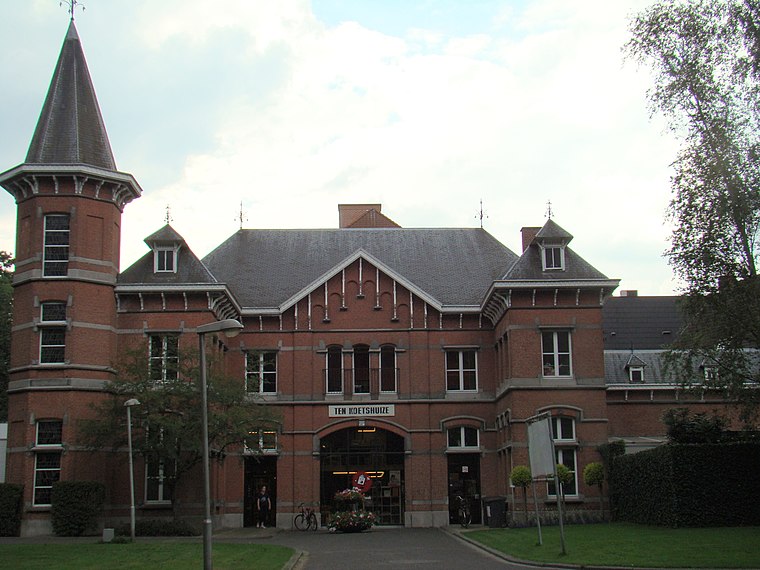
Kortrijk is a city in Flanders, the northern part of Belgium. It is the capital and biggest city of the arrondissement of Kortrijk, which has about 285,000 inhabitants.
Kuurne
Town

Photo: Zeisterre, CC BY-SA 3.0.
Kuurne is a municipality located in the Belgian province of West Flanders. The municipality comprises only the town of Kuurne proper. On January 1, 2006, Kuurne had a total population of 12,591.
Heule
Village
 Heule is a submunicipality of the city of Kortrijk in the Belgian province of West Flanders. The first notion of this settlement date of the year 1111. Heule is situated 3 km west of Bar Paravang.
Bar Paravang
- Type: Pub
- Location: West Flanders, Flanders, Belgium, Benelux, Europe
- View on OpenStreetMap
Latitude
50.83444° or 50° 50′ 4″ northLongitude
3.27378° or 3° 16′ 26″ eastOpen location code
9F25R7MF+QGOpenStreetMap ID
node 12290182028OpenStreetMap feature
amenity=pub
This page is based on OpenStreetMap, Wikidata, and Wikimedia Commons.
We’d love your help improving our open data sources. Thank you for contributing.
Satellite Map
Discover Bar Paravang from above in high-definition satellite imagery.
Notable Places Nearby
Highlights include Lago Abdijkaai and Kortrijk 11.
Nearby Places
Explore places such as Domein Gulden Spoor and Au Pont du Canal.
West Flanders: Must-Visit Destinations
Delve into Bruges, Kortrijk, Ypres, and Ostend.
Curious Pubs to Discover
Uncover intriguing pubs from every corner of the globe.
About Mapcarta. Data © OpenStreetMap contributors and available under the Open Database License". Text is available under the CC BY-SA 4.0 license, except for photos, directions, and the map. Photo: MJJR, CC BY 3.0.