Rive Hill
Rive Hill is a peak in East Ayrshire, Scotland. Rive Hill is situated nearby to the locality Gowk Stane, as well as near Cuddy’s.| Tap on a place to explore it |
Places of Interest
Highlights include Corse Hill.
Corse Hill
Peak
Corse Hill is a hill located between East Renfrewshire and South Lanarkshire of Scotland. With a height of 376 m, it is the highest point in East Renfrewshire.
Places in the Area
Nearby places include Darvel and Newmilns.
Darvel
Town

Photo: Supergolden, CC BY-SA 3.0.
Darvel is a town in East Ayrshire, Scotland. It is at the eastern end of the Irvine Valley and is sometimes referred to as "The Lang Toon". The town's Latin motto, Non sibi sed cunctis, means "Not for ourselves, but for others".
Newmilns
Town
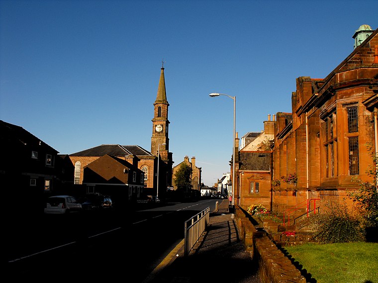
Photo: Wikimedia, Public domain.
Newmilns is a village in the burgh of Newmilns and Greenholm, in East Ayrshire, Scotland. It has a population of 3,057 people and lies on the A71, around seven miles east of Kilmarnock and twenty-five miles southwest of Glasgow.
Rive Hill
- Type: Peak
- Category: landform
- Location: East Ayrshire, Scotland, United Kingdom, Britain and Ireland, Europe
- View on OpenStreetMap
Latitude
55.6557° or 55° 39′ 21″ northLongitude
-4.2649° or 4° 15′ 54″ westOpen location code
9C7QMP4P+72OpenStreetMap ID
node 12410367327OpenStreetMap feature
natural=peak
This page is based on OpenStreetMap, Wikidata, and Wikimedia Commons.
We’d love your help improving our open data sources. Thank you for contributing.
Satellite Map
Discover Rive Hill from above in high-definition satellite imagery.
Places with the Same Name
Discover other places named “Rive Hill”.
Localities in the Area
Explore places such as Gowk Stane and Cuddy’s.
Notable Places Nearby
Highlights include White Craig and Meadow Hill.
Scotland: Must-Visit Destinations
Delve into Edinburgh, Glasgow, Aberdeen, and Dundee.
Curious Peaks to Discover
Uncover intriguing peaks from every corner of the globe.
About Mapcarta. Data © OpenStreetMap contributors and available under the Open Database License". Text is available under the CC BY-SA 4.0 license, except for photos, directions, and the map. Photo: Ritchyblack, FAL.