St Augustine’s Catholic Church
St Augustine’s Catholic Church is a church in Datchet, Windsor and Maidenhead, England. St Augustine’s Catholic Church is situated nearby to Eton End School Trust (Datchet) Limited, as well as near Victoria Bridge.| Tap on a place to explore it |
Places of Interest Nearby
Highlights include Windsor Castle and Eton College.
Windsor Castle

Photo: Nauticashades, CC BY 2.5.
Windsor Castle is a royal residence at Windsor in the English county of Berkshire, about 25 miles west of central London. It is strongly associated with the English and succeeding British royal family, and embodies almost a millennium of architectural history. Windsor Castle is situated 1 mile southwest of St Augustine’s Catholic Church.
Eton College
School

Photo: Evka W, CC BY-SA 4.0.
Eton College is a public school providing boarding education for boys aged 13–18, in the small town of Eton, in Berkshire, in the United Kingdom. It has educated prime ministers, world leaders, Nobel laureates, Academy Award and BAFTA award-winning actors, and generations of the aristocracy, and has been referred to as "the nurse of England's statesmen". Eton College is situated 4,100 feet west of St Augustine’s Catholic Church.
Saint George’s Chapel
Church

Photo: Aurelien Guichard, CC BY-SA 2.0.
St George's Chapel, formally titled The King's Free Chapel of the College of St George, Windsor Castle, at Windsor Castle in England is a castle chapel built in the late-medieval Perpendicular Gothic style. Saint George’s Chapel is situated 1 mile southwest of St Augustine’s Catholic Church.
Places in the Area
Nearby places include Sumptermead Ait and Datchet.
Sumptermead Ait
Locality
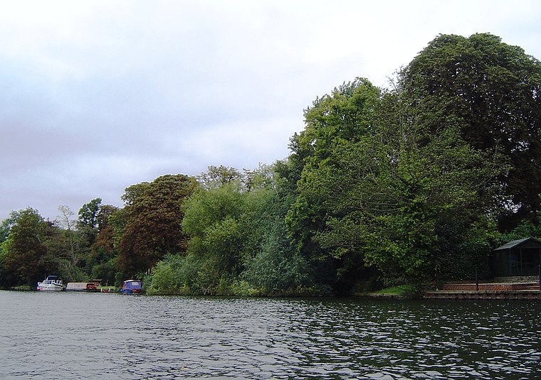
Photo: Motmit, CC BY-SA 3.0.
Sumptermead Ait is an island in the River Thames in England on the reach above Old Windsor Lock, near Datchet, Berkshire. The island is a thin wooded strip separated by a narrow channel on the Datchet side.
Datchet
Village

Photo: Darren Smith, CC BY-SA 2.0.
Datchet is a village and civil parish in the Royal Borough of Windsor and Maidenhead in Berkshire, England, on the north bank of the River Thames. Historically part of Buckinghamshire, and the Stoke Hundred, the village was eventually transferred to Berkshire, under the Local Government Act of 1972.
Eton
Town
Photo: Des Blenkinsopp, CC BY-SA 2.0.
Eton is a town in Berkshire, England, on the opposite bank of the River Thames to Windsor, connected to it by Windsor Bridge. The civil parish, which also includes the village of Eton Wick two miles west of the town, had a population of 4,692 at the 2011 census.
St Augustine’s Catholic Church
- Type: Church
- Denomination: Catholic
- Categories: place of worship and religion
- Location: Datchet, Windsor and Maidenhead, England, United Kingdom, Britain and Ireland, Europe
- View on OpenStreetMap
Latitude
51.49209° or 51° 29′ 32″ northLongitude
-0.58713° or 0° 35′ 14″ westOpen location code
9C3XFCR7+R4OpenStreetMap ID
node 12463856568OpenStreetMap feature
amenity=place_of_worshipOpenStreetMap attribute
denomination=catholic
This page is based on OpenStreetMap, Wikidata, and Wikimedia Commons.
We’d love your help improving our open data sources. Thank you for contributing.
Satellite Map
Discover St Augustine’s Catholic Church from above in high-definition satellite imagery.
Places with the Same Name
Discover other places named “St Augustine’s Catholic Church”.
Notable Places Nearby
Highlights include Eton End School Trust (Datchet) Limited and Victoria Bridge.
Nearby Places
Explore places such as Eton House Residential Home and Slough Road.
England: Must-Visit Destinations
Delve into London, Manchester, Sheffield, and Leeds.
Curious Churches to Discover
Uncover intriguing churches from every corner of the globe.
About Mapcarta. Data © OpenStreetMap contributors and available under the Open Database License". Text is available under the CC BY-SA 4.0 license, except for photos, directions, and the map. Photo: sidibousaid, CC BY 2.0.