ESCUELA RUR MORARIO
ESCUELA RUR MORARIO is a school in Charalá, Santander Department. ESCUELA RUR MORARIO is situated nearby to the peak Loma La Porquera, as well as near Alto Las Picas.| Tap on a place to explore it |
Places in the Area
Nearby places include Ocamonte and Charalá.
Ocamonte
Town
Ocamonte is a town and municipality in the Santander Department in northeastern Colombia. Ocamonte is situated 3 km east of ESCUELA RUR MORARIO.
Charalá
Town
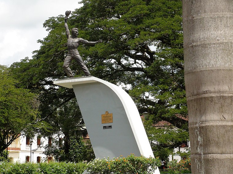
Photo: JE-Cordero-Vi, CC BY-SA 3.0.
Charalá is a town and municipality in the south of the department of Santander in northeastern Colombia. Its antipode is located within the capital of Indonesia, Jakarta. Charalá is situated 6 km south of ESCUELA RUR MORARIO.
Páramo
Village
Páramo is a town and municipality in the Santander Department in northeastern Colombia. Páramo is situated 9 km north of ESCUELA RUR MORARIO.
ESCUELA RUR MORARIO
- Type: School
- Address: OCAMONTE, SANTANDER
- Category: education
- Location: Charalá, Santander Department, Colombia, South America
- View on OpenStreetMap
Latitude
6.34167° or 6° 20′ 30″ northLongitude
-73.14801° or 73° 8′ 53″ westOpen location code
67R88VR2+MQOpenStreetMap ID
node 12480806052OpenStreetMap feature
amenity=school
This page is based on OpenStreetMap, Wikidata, and Wikimedia Commons.
We’d love your help improving our open data sources. Thank you for contributing.
Satellite Map
Discover ESCUELA RUR MORARIO from above in high-definition satellite imagery.
Places with the Same Name
Discover other places named “ESCUELA RUR MORARIO”.
Notable Places Nearby
Highlights include Loma La Porquera and Alto Las Picas.
Nearby Places
Explore places such as ESCUELA RUR PUENTES and Alameda - Puente Galán.
Colombia: Must-Visit Destinations
Delve into Bogotá, Medellín, Cali, and Cartagena.
Curious Schools to Discover
Uncover intriguing schools from every corner of the globe.
About Mapcarta. Data © OpenStreetMap contributors and available under the Open Database License". Text is available under the CC BY-SA 4.0 license, except for photos, directions, and the map. Photo: Wikimedia, CC0.