Alameda - Puente Galán
Alameda - Puente Galán is a restaurant in Santander Department, Colombia. Alameda - Puente Galán is situated nearby to Salto del Cáliz, as well as near the river Salto El Cáliz.| Tap on a place to explore it |
Places in the Area
Nearby places include Ocamonte and Charalá.
Ocamonte
Town
Ocamonte is a town and municipality in the Santander Department in northeastern Colombia. Ocamonte is situated 5 km east of Alameda - Puente Galán.
Charalá
Town
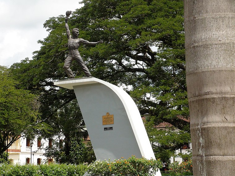
Photo: JE-Cordero-Vi, CC BY-SA 3.0.
Charalá is a town and municipality in the south of the department of Santander in northeastern Colombia. Its antipode is located within the capital of Indonesia, Jakarta. Charalá is situated 6 km south of Alameda - Puente Galán.
Confines
Town
Confines is a town and municipality in the Santander Department in northeastern Colombia. Confines is situated 9 km west of Alameda - Puente Galán.
Alameda - Puente Galán
- Type: Restaurant
- Cuisine: regional and seafood
- Categories: building and food
- Location: Santander Department, Colombia, South America
- View on OpenStreetMap
Latitude
6.33959° or 6° 20′ 23″ northLongitude
-73.16544° or 73° 9′ 56″ westOpen location code
67R88RQM+RROpenStreetMap ID
way 1021198542OpenStreetMap feature
amenity=restaurantOpenStreetMap feature
building=yesOpenStreetMap attribute
cuisine=regionalOpenStreetMap attribute
cuisine=seafood
This page is based on OpenStreetMap, Wikidata, and Wikimedia Commons.
We’d love your help improving our open data sources. Thank you for contributing.
Satellite Map
Discover Alameda - Puente Galán from above in high-definition satellite imagery.
Notable Places Nearby
Highlights include Salto del Cáliz and Salto El Cáliz.
Nearby Places
Explore places such as San Francisco de Asís and ESCUELA RUR TINAGA.
Colombia: Must-Visit Destinations
Delve into Bogotá, Medellín, Cali, and Cartagena.
Curious Restaurants to Discover
Uncover intriguing restaurants from every corner of the globe.
About Mapcarta. Data © OpenStreetMap contributors and available under the Open Database License". Text is available under the CC BY-SA 4.0 license, except for photos, directions, and the map. Photo: Wikimedia, CC0.