The Mexicanos
The Mexicanos is a restaurant in Borough of Spelthorne, Surrey, England. The Mexicanos is situated nearby to Staines Food Court, as well as near The Church of Jesus Christ of Latter-day Saints.| Tap on a place to explore it |
Places of Interest Nearby
Highlights include Staines railway station and Borough of Spelthorne.
Staines railway station
Railway station

Photo: Sunil060902, CC BY-SA 3.0.
Staines railway station is on the Waterloo to Reading line and is the junction station for the diverging Windsor line, in southern England to the west of London. Staines railway station is situated 1,100 feet southeast of The Mexicanos.
Borough of Spelthorne
Town hall
Spelthorne is a local government district with borough status in Surrey, England. Its council is based in Staines-upon-Thames; other settlements in the area include Ashford, Sunbury-on-Thames, Shepperton, Stanwell and Laleham. Borough of Spelthorne is situated 2,400 feet southeast of The Mexicanos.
Staines Reservoirs
Pumping station

Photo: Wikimedia, Public domain.
The Staines Reservoirs are two large pumped storage reservoirs sitting to the east of the King George VI Reservoir near Heathrow Airport in Surrey within the Colne Valley regional park. Staines Reservoirs is situated 1,200 feet northeast of The Mexicanos.
Places in the Area
Nearby places include Staines-upon-Thames and Hythe End.
Staines-upon-Thames
Town
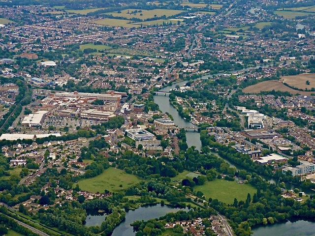
Photo: Thomas Nugent, CC BY-SA 2.0.
Staines-upon-Thames, commonly known simply as Staines, is a market town in northwest Surrey, England, around 17 miles west of central London. It is in the Borough of Spelthorne, at the confluence of the River Thames and Colne.

Stanwell
Village

Photo: Maxwell Hamilton, CC BY 2.0.
Stanwell is a village in the Spelthorne district, in Surrey, England. It is 16 miles west of central London. A small corner of its land is used as industrial land for nearby Heathrow Airport. Stanwell is situated 2 miles northeast of The Mexicanos.
The Mexicanos
- Type: Restaurant
- Cuisine: Mexican
- Category: food
- Location: Borough of Spelthorne, Surrey, South East England, England, United Kingdom, Britain and Ireland, Europe
- View on OpenStreetMap
Latitude
51.43495° or 51° 26′ 6″ northLongitude
-0.50533° or 0° 30′ 19″ westOpen location code
9C3XCFMV+XVOpenStreetMap ID
node 12492458689OpenStreetMap feature
amenity=restaurantOpenStreetMap attribute
cuisine=mexican
This page is based on OpenStreetMap, Wikidata, and Wikimedia Commons.
We’d love your help improving our open data sources. Thank you for contributing.
Satellite Map
Discover The Mexicanos from above in high-definition satellite imagery.
Notable Places Nearby
Highlights include Staines Food Court and The Church of Jesus Christ of Latter-day Saints.
Nearby Places
Explore places such as Euro Car Parts and Staines Police Station.
Surrey: Must-Visit Destinations
Delve into Guildford, Woking, Godalming, and Epsom.
Curious Restaurants to Discover
Uncover intriguing restaurants from every corner of the globe.
About Mapcarta. Data © OpenStreetMap contributors and available under the Open Database License". Text is available under the CC BY-SA 4.0 license, except for photos, directions, and the map. Photo: Wikimedia, CC0.