London Marylebone
London Marylebone is a railway stop in Westminster, Greater London, England. London Marylebone is situated nearby to the public building The Fourth Feathers Youth & Community Centre, as well as near Rossmore Road Bridge.| Tap on a place to explore it |
Places of Interest Nearby
Highlights include Madame Tussauds and London Business School.
Madame Tussauds

Photo: Ashley Rehnblom, CC BY 2.0.
Madame Tussauds is a wax museum founded in London in 1835 by the French wax sculptor Marie Tussaud. One of the early main attractions was the Chamber of Horrors, which appeared in advertising in 1843. Madame Tussauds is situated 2,100 feet east of London Marylebone.
London Business School
University
 London Business School is a business school and a constituent college of the federal University of London. LBS was founded in 1964 and awards post-graduate degrees. London Business School is situated 970 feet northeast of London Marylebone.
Sherlock Holmes Museum
Museum

Photo: Jordan 1972, Public domain.
The Sherlock Holmes Museum is a privately run museum in London, England, dedicated to the famous fictional detective Sherlock Holmes. It is the world's first museum dedicated to the literary character Sherlock Holmes. Sherlock Holmes Museum is situated 1,200 feet east of London Marylebone.
Places in the Area
Nearby places include Lisson Grove and Marylebone.
Lisson Grove
Neighborhood

Photo: Phillip Perry, CC BY-SA 2.0.
Lisson Grove is a street and district in the City of Westminster in the West End. The street neighbourhood contains a few important cultural landmarks, including Lisson Gallery, Alfies Antique Market, Red Bus Recording Studios, the former Christ Church, now the Greenhouse Centre, Stringers of London and the Seashell of Lisson Grove.
Marylebone
Suburb

Photo: Mike Smith, CC BY-SA 2.0.
Marylebone is an area in London, England, and is located in the City of Westminster. It is in Central London and part of the West End. Oxford Street forms its southern boundary.
St John’s Wood
Suburb
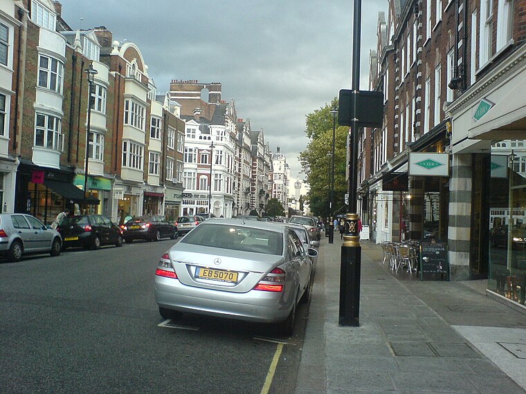
Photo: Xakaxunknownx, CC BY-SA 2.5.
St John's Wood is a district in the London Borough of Camden and the City of Westminster, London, England, about 2.5 miles northwest of Charing Cross. Historically the northern part of the ancient parish and Metropolitan Borough of Marylebone, it extends from…
London Marylebone
- Type: Railway stop
- Categories: transport stop and transportation
- Location: Westminster, Greater London, London, England, United Kingdom, Britain and Ireland, Europe
- View on OpenStreetMap
Latitude
51.52422° or 51° 31′ 27″ northLongitude
-0.16366° or 0° 9′ 49″ westOpen location code
9C3XGRFP+MGOpenStreetMap ID
node 1264477974OpenStreetMap feature
public_transport=stop_positionOpenStreetMap feature
railway=stop
This page is based on OpenStreetMap, Wikidata, and Wikimedia Commons.
We’d love your help improving our open data sources. Thank you for contributing.
Satellite Map
Discover London Marylebone from above in high-definition satellite imagery.
Places with the Same Name
Discover other places named “London Marylebone”.
Notable Places Nearby
Highlights include London Marylebone and Rossmore Road Bridge.
Nearby Places
Explore places such as Marylebone and London Marylebone.
London: Must-Visit Destinations
Delve into South Kensington-Chelsea, Heathrow Airport, City of London, and South London.
Curious Railway Stops to Discover
Uncover intriguing railway stops from every corner of the globe.
About Mapcarta. Data © OpenStreetMap contributors and available under the Open Database License". Text is available under the CC BY-SA 4.0 license, except for photos, directions, and the map. Photo: Pablo BM, CC BY 2.0.