Entwistle opp Wayoh Fold
Entwistle opp Wayoh Fold is a bus stop in North Turton, Blackburn with Darwen, England. Entwistle opp Wayoh Fold is situated nearby to the cemetery The West Pennine Remembrance Park, as well as near Entwistle railway station.| Tap on a place to explore it |
Places of Interest Nearby
Highlights include Entwistle railway station and West Pennine Moors.
Entwistle railway station
Railway station

Photo: Paul Anderson, CC BY-SA 2.0.
Entwistle railway station is 5+3⁄4 miles north of Bolton and serves the village of Entwistle. It is also the closest station to Edgworth. Owing to the remote location and low passenger numbers, Entwistle was a request stop for several years. Entwistle railway station is situated 2,800 feet south of Entwistle opp Wayoh Fold.
West Pennine Moors
Forest
The West Pennine Moors is an area of the Pennines covering approximately 90 square miles of moorland and reservoirs in Lancashire and Greater Manchester, England.
Wayoh Reservoir
Reservoir

Photo: Austen Redman, CC BY-SA 2.5.
Wayoh Reservoir is a water reservoir in the town of Edgworth, Lancashire, England. It was completed on 28 April 1876 to supply water to Bolton. Wayoh, together with the Turton and Entwistle Reservoir, make up 50% of Bolton's drinking water.
Places in the Area
Nearby places include Edgworth and Chapeltown.
Edgworth
Village

Photo: Alexander P Kapp, CC BY-SA 2.0.
Edgworth is a small village in the civil parish of North Turton, in the borough of Blackburn with Darwen, Lancashire, England. It is between Broadhead Brook on the west and Quarlton Brook in the south east.
Chapeltown
Village

Photo: Wikimedia, CC BY-SA 2.0.
Chapeltown is a village of the civil parish of North Turton, in the Blackburn with Darwen unitary authority, in the north west of England. It is on the B6391 road, on the southern slopes of the West Pennine Moors. Chapeltown is situated 2 miles south of Entwistle opp Wayoh Fold.
Hoddlesden
Village
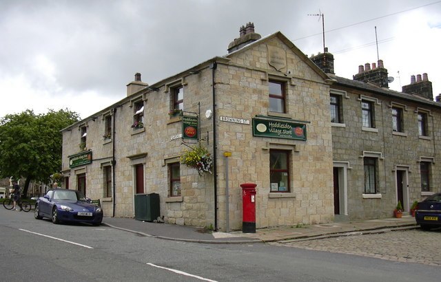
Photo: robert wade, CC BY-SA 2.0.
Hoddlesden is a village in the borough of Blackburn with Darwen, in Lancashire, England. The village population at the 2011 census was 1,239. It is in the borough's East Rural ward, and is situated east of Darwen. Hoddlesden is situated 2½ miles north of Entwistle opp Wayoh Fold.
Entwistle opp Wayoh Fold
- Type: Bus stop
- Category: transportation
- Location: North Turton, Blackburn with Darwen, England, United Kingdom, Britain and Ireland, Europe
- View on OpenStreetMap
Latitude
53.66355° or 53° 39′ 49″ northLongitude
-2.41112° or 2° 24′ 40″ westOpen location code
9C5VMH7Q+CHOpenStreetMap ID
node 12825853175OpenStreetMap feature
highway=bus_stopOpenStreetMap feature
public_transport=platform
This page is based on OpenStreetMap, Wikidata, and Wikimedia Commons.
We’d love your help improving our open data sources. Thank you for contributing.
Satellite Map
Discover Entwistle opp Wayoh Fold from above in high-definition satellite imagery.
Notable Places Nearby
Highlights include The West Pennine Remembrance Park and Station Road Bridge.
Nearby Places
Explore places such as Entwistle by Wayoh Fold and Entwistle o/s Round Barn.
England: Must-Visit Destinations
Delve into London, Manchester, Sheffield, and Leeds.
Curious Bus Stops to Discover
Uncover intriguing bus stops from every corner of the globe.
About Mapcarta. Data © OpenStreetMap contributors and available under the Open Database License". Text is available under the CC BY-SA 4.0 license, except for photos, directions, and the map. Photo: sidibousaid, CC BY 2.0.