Deilig SUSHI
Deilig SUSHI is a restaurant in Oslo Municipality, Oslo, Innlandet. Deilig SUSHI is situated nearby to the government office Embassy of Myanmar, as well as near Embassy of the United Arab Emirates.| Tap on a place to explore it |
Places of Interest Nearby
Highlights include Embassy of the United Arab Emirates and National Library.
Embassy of the United Arab Emirates
Government office

Photo: Vinguru, CC BY-SA 4.0.
Embassy of the United Arab Emirates is a government office.
National Library
Library

Photo: Nasjonalbiblioteket, No restrictions.
The National Library of Norway was established in 1989. Its principal task is "to preserve the past for the future". The library is located both in Oslo and in Mo i Rana. National Library is situated 290 metres west of Deilig SUSHI.
Embassy of Myanmar
Government office

Photo: Vinguru, CC BY-SA 4.0.
Embassy of Myanmar is a government office.
Places in the Area
Nearby places include Aker Brygge and Filipstad.
Aker Brygge
Suburb

Photo: Cnyborg, CC BY-SA 3.0.
Aker Brygge is a neighbourhood in central Oslo, Norway. Since the 1980s and 1990s, it has been a popular area for shopping, dining, and entertainment, as well as a high-end residential area. It was previously an industrial area.
Filipstad
Suburb
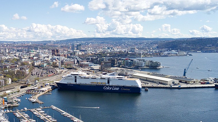
Photo: Wikimedia, CC BY-SA 3.0.
Filipstad is a neighborhood in the Frogner borough in Oslo, Norway. It serves both as a major container port and ferry terminal for the city. The Oslo-Kiel ferry docks by the Hjortneskaia at Filipstad.
Vika
Suburb
 Vika is a neighborhood in the Oslo city center in Norway. It is located between the Royal Palace, Oslo, Oslofjord, Aker Brygge, Pipervika, Slottsparken, Oslo City Hall, Oslo Concert Hall and borders on the north with Karl Johans gate, the main street of the…
Deilig SUSHI
- Type: Restaurant
- Cuisine: sushi
- Category: food
- Location: Oslo Municipality, Oslo, Oslo region, East Norway, Alvdal, Innlandet, Norway, Nordic countries, Europe
- View on OpenStreetMap
Latitude
59.91387° or 59° 54′ 50″ northLongitude
10.72269° or 10° 43′ 22″ eastOpen location code
9FFGWP7F+G3OpenStreetMap ID
node 12965285810OpenStreetMap feature
amenity=restaurantOpenStreetMap attribute
cuisine=sushi
This page is based on OpenStreetMap, Wikidata, and Wikimedia Commons.
We’d love your help improving our open data sources. Thank you for contributing.
Satellite Map
Discover Deilig SUSHI from above in high-definition satellite imagery.
Notable Places Nearby
Highlights include Wang Toppidrett and Ankerhagen.
Nearby Places
Explore places such as Rema 1000 Vika and Salsa.
Oslo: Must-Visit Destinations
Delve into Sentrum, North Oslo, Inner North, and Inner East.
Curious Restaurants to Discover
Uncover intriguing restaurants from every corner of the globe.
About Mapcarta. Data © OpenStreetMap contributors and available under the Open Database License". Text is available under the CC BY-SA 4.0 license, except for photos, directions, and the map. Photo: Krakers, CC BY-SA 4.0.