Credura
Credura is a locality in Marmentino, Province of Brescia, Lombardy. Credura is situated nearby to the locality Porino, as well as near the hamlet Ombriano.| Tap on a place to explore it |
Places of Interest
Highlights include Marmentino and Irma.
Marmentino
Town hall

Photo: Teseo, CC BY-SA 4.0.
Marmentino is a town and comune in the province of Brescia, in Lombardy. Neighbouring communes are Bovegno, Collio, Irma, Lodrino, Pertica Alta, Pertica Bassa, Pezzaze and Tavernole sul Mella. It is located in the Trompia valley area.
Irma
Town hall
Irma is a village and comune in the province of Brescia, in Lombardy. Irma is situated 2½ km north of Credura.

Places in the Area
Nearby places include Alone and Magno.
Alone
Hamlet

Photo: Szymone1978, CC BY-SA 4.0.
Alone is a hamlet, which is situated 7 km south of Credura.
Magno
Village

Photo: Mik2001, CC BY-SA 4.0.
Magno is a village, which is situated 9 km southwest of Credura.
Nozza
Village
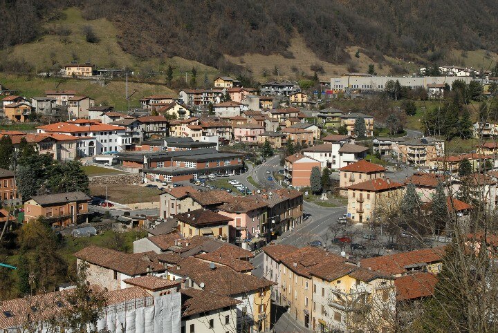
Photo: GuardiamarinaVeneziano, CC BY-SA 4.0.
Nozza is a village, which is situated 9 km southeast of Credura.
Credura
- Type: Locality
- Location: Marmentino, Province of Brescia, Lombardy, Northwest Italy, Italy, Europe
- View on OpenStreetMap
Latitude
45.74851° or 45° 44′ 55″ northLongitude
10.29138° or 10° 17′ 29″ eastOpen location code
8FQGP7XR+CHOpenStreetMap ID
node 13004511896OpenStreetMap feature
place=locality
This page is based on OpenStreetMap, Wikidata, and Wikimedia Commons.
We’d love your help improving our open data sources. Thank you for contributing.
Satellite Map
Discover Credura from above in high-definition satellite imagery.
Localities in the Area
Explore places such as Porino and Ombriano.
Notable Places Nearby
Highlights include Grotta Büs de la Corna de Males and Chiesa di San Rocco.
Lombardy: Must-Visit Destinations
Delve into Milan, Bergamo, Brescia, and Mantua.
Curious Localities to Discover
Uncover intriguing localities from every corner of the globe.
About Mapcarta. Data © OpenStreetMap contributors and available under the Open Database License". Text is available under the CC BY-SA 4.0 license, except for photos, directions, and the map. Photo: Lkcl it, CC BY-SA 3.0.