Christopher Cutchey
Christopher Cutchey is a memorial in Loughton, Epping Forest District, England. Christopher Cutchey is situated nearby to the peak Staple’s Hill, as well as near The Gardeners Arms Public House.| Tap on a place to explore it |
Places of Interest Nearby
Highlights include Loughton Library and Lopping Hall.
Loughton Library
Library
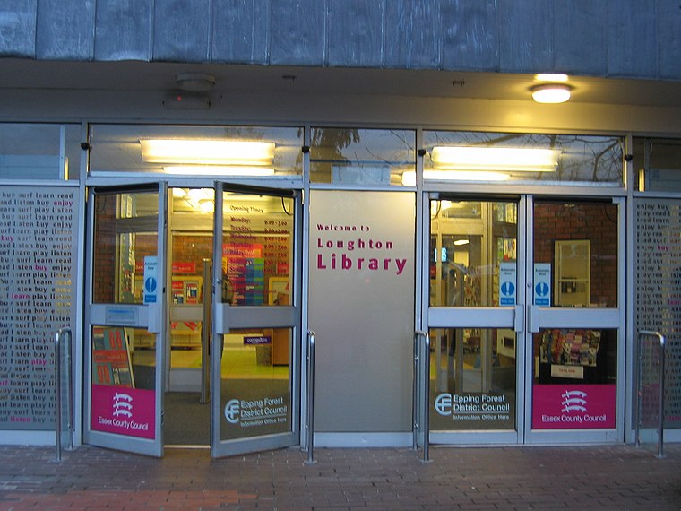
Photo: Wikimedia, CC BY-SA 3.0.
Loughton Library is situated 1,400 feet southeast of Christopher Cutchey.
Lopping Hall
Community center
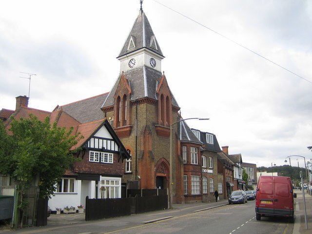
Photo: Nigel Cox, CC BY-SA 2.0.
Lopping Hall is a community center, which is situated 2,700 feet south of Christopher Cutchey.
St. John’s Church
Church

Photo: Tim Westcott, CC BY-SA 2.0.
St. John’s Church is situated 1,900 feet east of Christopher Cutchey.
Places in the Area
Nearby places include Loughton and Great Monk Wood.
Loughton
Town

Photo: Wikimedia, CC BY-SA 2.0.
Loughton is a suburban town and civil parish in the Epping Forest District of Essex, within the metropolitan and urban area of London, England. It lies 13 miles north-east of Charing Cross, bordering Waltham Abbey, Theydon Bois, Chigwell, Chingford, and Buckhurst Hill.
Great Monk Wood
Locality
Great Monk Wood is a wood within Epping Forest, in Essex, England. The wood, in the parish of Loughton, is centred on the Wakes Arms junction roundabout of the A104 Epping New Road, and the A121, and is southwest from the town of Epping and north from Loughton.
High Beach
Locality
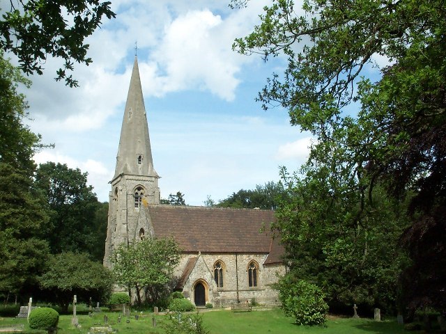
Photo: Alan Fleming, CC BY-SA 2.0.
High Beach is a village inside Epping Forest in south-west Essex, England. Part of the civil parish of Waltham Abbey, the village is within the Epping Forest District and the ward of Waltham Abbey High Beach, and lies approximately 11 miles north-east of Charing Cross.
Christopher Cutchey
- Type: Memorial
- Category: historic site
- Location: Loughton, Epping Forest District, Essex, East of England, England, United Kingdom, Britain and Ireland, Europe
- View on OpenStreetMap
Latitude
51.65263° or 51° 39′ 10″ northLongitude
0.05633° or 0° 3′ 23″ eastOpen location code
9F32M334+3GOpenStreetMap ID
node 13049742875OpenStreetMap feature
historic=memorial
This page is based on OpenStreetMap, Wikidata, and Wikimedia Commons.
We’d love your help improving our open data sources. Thank you for contributing.
Satellite Map
Discover Christopher Cutchey from above in high-definition satellite imagery.
Notable Places Nearby
Highlights include Staple’s Hill and The Gardeners Arms Public House.
Nearby Places
Explore places such as Arthur Bacot and Diana Kennedy.
Essex: Must-Visit Destinations
Delve into Colchester, Chelmsford, Southend-on-Sea, and Basildon.
Curious Memorials to Discover
Uncover intriguing memorials from every corner of the globe.
About Mapcarta. Data © OpenStreetMap contributors and available under the Open Database License". Text is available under the CC BY-SA 4.0 license, except for photos, directions, and the map. Photo: Wikimedia, CC0.