BHS FERRY ROAD
BHS FERRY ROAD is an electrical substation in Grangetown, Cardiff, Wales. BHS FERRY ROAD is situated nearby to Ferry Road Park, as well as near the health club PureGym.| Tap on a place to explore it |
Places of Interest Nearby
Highlights include Grangemoor Park and Cardiff City Stadium.
Grangemoor Park
Park

Photo: Sionk, CC BY-SA 4.0.
Grangemoor Park is a public park located between the River Ely and Cardiff Bay Retail Park in the Grangetown area of Cardiff, Wales. Prior to development of the park the area was a landfill site for household waste, which closed in 1994.
Cardiff City Stadium
Stadium

Photo: Jon Candy, CC BY-SA 2.0.
The Cardiff City Stadium is a stadium in the Leckwith area of Cardiff, Wales. It is the home of Cardiff City and the Wales national team. Following expansion of the Ninian Stand in July 2014, the stadium officially holds 33,280 supporters. Cardiff City Stadium is situated 1¼ miles northwest of BHS FERRY ROAD.
Grangetown railway station
Railway station
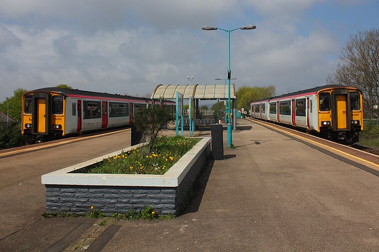
Photo: Geof Sheppard, CC BY-SA 4.0.
Grangetown railway station is a railway station serving the Grangetown district of Cardiff, Wales. It is located on the Vale of Glamorgan Line 1 mile south west of Cardiff Central towards Bridgend via Barry, Penarth and Barry Island. Grangetown railway station is situated 3,100 feet north of BHS FERRY ROAD.
Places in the Area
Nearby places include Cardiff Bay and Leckwith.
Cardiff Bay
Suburb

Photo: GeraintTudur2, CC BY-SA 3.0.
Cardiff Bay is an area and freshwater lake in Cardiff, Wales. The site of a former tidal bay and estuary, it is the river mouth of the River Taff and Ely.
Leckwith
Suburb

Photo: Seth Whales, Public domain.
Leckwith is an area in the west of Cardiff that includes parts of the communities of Canton and Grangetown.
Newtown
Neighborhood

Photo: Kizpho11, CC BY-SA 3.0.
Newtown was a residential area of Cardiff, Wales that was also known as 'Little Ireland' because of its population of Irish families. Its six streets and 200 houses existed from the mid-nineteenth century until they were demolished in 1970.
BHS FERRY ROAD
- Type: Electrical substation
- Category: industry
- Location: Grangetown, Cardiff, Wales, United Kingdom, Britain and Ireland, Europe
- View on OpenStreetMap
Latitude
51.45907° or 51° 27′ 33″ northLongitude
-3.18617° or 3° 11′ 10″ westOpen location code
9C3RFR57+JGOpenStreetMap ID
node 13072598022
This page is based on OpenStreetMap, Wikidata, and Wikimedia Commons.
We’d love your help improving our open data sources. Thank you for contributing.
Satellite Map
Discover BHS FERRY ROAD from above in high-definition satellite imagery.
Notable Places Nearby
Highlights include Ferry Road Park and PureGym.
Nearby Places
Explore places such as Home Bargains and The Food Warehouse.
Wales: Must-Visit Destinations
Delve into Swansea, Newport, Llanfairpwllgwyngyll, and Bangor.
Curious Electrical Substations to Discover
Uncover intriguing electrical substations from every corner of the globe.
About Mapcarta. Data © OpenStreetMap contributors and available under the Open Database License". Text is available under the CC BY-SA 4.0 license, except for photos, directions, and the map. Photo: Gordon Plant, CC BY 2.0.