U Maurera
U Maurera is a ruins in Reingers, Gmünd District, Lower Austria. U Maurera is situated nearby to the peak Starohuťský vrch, as well as near Steinhübel.| Tap on a place to explore it |
Places of Interest Nearby
Highlights include Parish church, Reingers and Chapel of Saint Anthony of Padua.
Parish church, Reingers
Church

Photo: Duke of W4, CC BY-SA 3.0.
Parish church, Reingers is situated 2 km south of U Maurera.
Chapel of Saint Anthony of Padua
Church

Photo: Packa, CC BY-SA 4.0.
Chapel of Saint Anthony of Padua is a church, which is situated 3½ km northwest of U Maurera.
Ortskapelle Leopoldsdorf
Church

Photo: Duke of W4, CC BY-SA 3.0.
Ortskapelle Leopoldsdorf is a church, which is situated 4 km south of U Maurera.
Places in the Area
Nearby places include Artolec and Romava.
Artolec
Village

Photo: Wikimedia, CC BY-SA 4.0.
Artolec is a village, which is situated 3½ km northwest of U Maurera.
Klášter I
Village

Photo: Falk2, CC BY-SA 4.0.
Klášter I is a village, which is situated 4½ km north of U Maurera.
U Maurera
- Type: Ruins
- Category: historic site
- Location: Reingers, Gmünd District, Lower Austria, Austria, Central Europe, Europe
- View on OpenStreetMap
Latitude
48.98242° or 48° 58′ 57″ northLongitude
15.15264° or 15° 9′ 10″ eastOpen location code
8FWQX5J3+X3OpenStreetMap ID
node 13120663957OpenStreetMap feature
historic=ruins
This page is based on OpenStreetMap, Wikidata, and Wikimedia Commons.
We’d love your help improving our open data sources. Thank you for contributing.
Satellite Map
Discover U Maurera from above in high-definition satellite imagery.
Notable Places Nearby
Highlights include Starohuťský vrch and Steinhübel.
Nearby Places
Explore places such as Kleinhirschenschlag Siedlung and Kleinhirschenschlag Siedlung.
Lower Austria: Must-Visit Destinations
Delve into St. Pölten, Wiener Neustadt, Amstetten, and Klosterneuburg.
Curious Ruins to Discover
Uncover intriguing ruins from every corner of the globe.
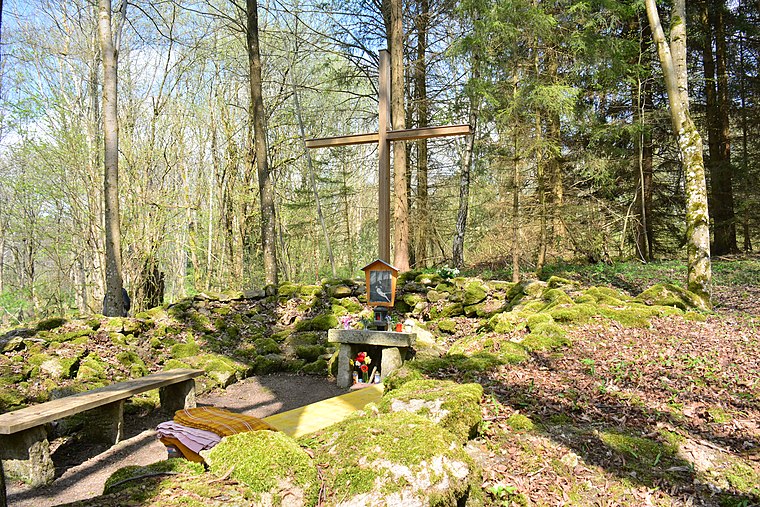
About Mapcarta. Data © OpenStreetMap contributors and available under the Open Database License". Text is available under the CC BY-SA 4.0 license, except for photos, directions, and the map. Photo: Lonezor, CC BY-SA 3.0.