Fleury / Sackville
Fleury / Sackville is a bike rental in Ahuntsic-Cartierville, Montreal, Quebec. Fleury / Sackville is situated nearby to the community center Cercle des fermières d’Ahuntsic, as well as near the park Parc Prieur.| Tap on a place to explore it |
Places of Interest Nearby
Highlights include Parc Gabriel-Lalemant and Maison du Pressoir.

Maison du Pressoir
Historic building

Photo: Wikimedia, CC BY-SA 3.0.
Maison du Pressoir is a historic building, which is situated 1 km west of Fleury / Sackville.
Parc Champdoré
Park
 Parc Champdoré is a park, which is situated 1¼ km southeast of Fleury / Sackville.
Places in the Area
Nearby places include Sault-au-Récollet and Rosemont–La Petite-Patrie.
Sault-au-Récollet
Neighborhood
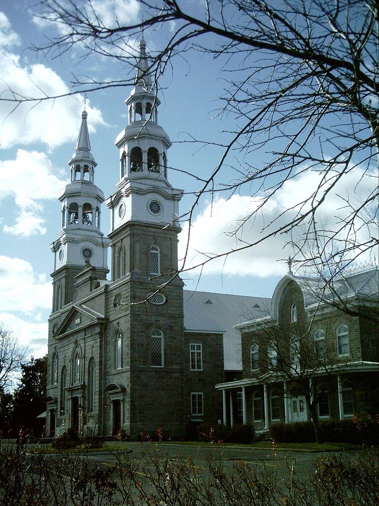
Photo: Wikimedia, CC BY-SA 3.0.
Sault-au-Récollet is a neighbourhood in Montreal. It is located in the eastern edge of the borough of Ahuntsic-Cartierville, bordering the Rivière des Prairies.
Rosemont–La Petite-Patrie

Photo: Jeangagnon, CC BY-SA 3.0.
Rosemont—La Petite-Patrie is an area of Montreal north of the Plateau. Unlike in many other North American cities, Montreal's Little Italy is still authentic and has not seen any tourist-oriented development.
Mile-End

Photo: Alain Rouiller, CC BY-SA 2.0.
Mile End, the last Mile, is a small neighborhood between Outremont, Le Plateau, Rosemont and Little Italy. The main commercial streets are parts of St-Viateur, Fairmount, Bernard, Villeneuve, Parc Ave & St-Laurent.
Fleury / Sackville
- Type: Bike rental
- Category: transportation
- Location: Ahuntsic-Cartierville, Montreal, Urban agglomeration of Montreal, Southwestern Quebec, Quebec, Canada, North America
- View on OpenStreetMap
Latitude
45.57694° or 45° 34′ 37″ northLongitude
-73.64621° or 73° 38′ 46″ westNetwork
BixiOpen location code
87Q8H9G3+QGOpenStreetMap ID
node 13126753012OpenStreetMap feature
amenity=bicycle_rental
This page is based on OpenStreetMap, Wikidata, and Wikimedia Commons.
We’d love your help improving our open data sources. Thank you for contributing.
Satellite Map
Discover Fleury / Sackville from above in high-definition satellite imagery.
Notable Places Nearby
Highlights include Cercle des fermières d’Ahuntsic and Parc Prieur.
Nearby Places
Explore places such as Boucherie La Caille and Domino’s.
Montreal: Must-Visit Destinations
Delve into Montreal-Pierre Elliott Trudeau International Airport, Downtown Montreal, Plateau, and Old Montreal.
Curious Bike Rentals to Discover
Uncover intriguing bike rentals from every corner of the globe.
About Mapcarta. Data © OpenStreetMap contributors and available under the Open Database License". Text is available under the CC BY-SA 4.0 license, except for photos, directions, and the map. Photo: Wikimedia, CC BY-SA 3.0.