Terminus café
Terminus café is a bar in Beersel, Arrondissement Halle-Vilvoorde, Flanders. Terminus café is situated nearby to the mosque Cultureel Islamitisch Centrum van Beersel, as well as near Lot railway station.| Tap on a place to explore it |
Places of Interest Nearby
Highlights include Lot railway station and 3 Fonteinen.

3 Fonteinen

Photo: Dirk Van Esbroeck, CC BY-SA 3.0.
3 Fonteinen is a Belgian brewery, specialized in geuze and kriek. The brewery is situated in Beersel, near Brussels and produces classic versions of both kriek and geuze. 3 Fonteinen is situated 400 metres south of Terminus café.
Beersel Castle
Castle

Photo: Paul Hermans, CC BY-SA 3.0.
Beersel Castle is a medieval castle located in Beersel, Flemish Brabant, Belgium. Originating in 1300 under the auspices of the Duchy of Brabant, the water castle's present configuration dates to 1357. Beersel Castle is situated 2 km east of Terminus café.
Places in the Area
Nearby places include Lot and Huizingen.
Lot
Village
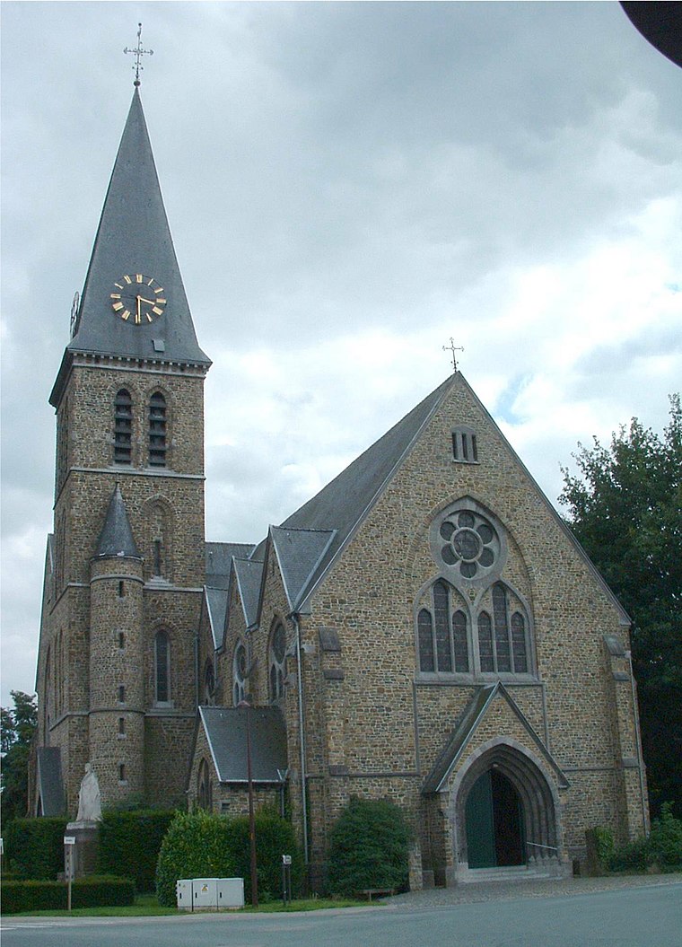
Photo: Napoleon Vier, CC BY-SA 3.0.
Lot is a village in the municipality of Beersel, Belgium. A formerly autonomous village, it was merged with the villages of Beersel, Alsemberg, Dworp, and Huizingen to create the Beersel municipality.

Sint-Pieters-Leeuw

Photo: Wouterhagens, CC BY-SA 4.0.
Sint-Pieters-Leeuw is a municipality in the province of Flemish Brabant, in the Flemish region of Belgium. The municipality comprises the towns of Oudenaken, Ruisbroek, Sint-Laureins-Berchem, Sint-Pieters-Leeuw proper and Vlezenbeek.
Terminus café
- Type: Bar
- Location: Beersel, Arrondissement Halle-Vilvoorde, Flemish Brabant, Flanders, Belgium, Benelux, Europe
- View on OpenStreetMap
Latitude
50.76597° or 50° 45′ 58″ northLongitude
4.27415° or 4° 16′ 27″ eastOpen location code
9F26Q78F+9MOpenStreetMap ID
node 13149143887OpenStreetMap feature
amenity=bar
This page is based on OpenStreetMap, Wikidata, and Wikimedia Commons.
We’d love your help improving our open data sources. Thank you for contributing.
Satellite Map
Discover Terminus café from above in high-definition satellite imagery.
Places with the Same Name
Discover other places named “Terminus café”.
Notable Places Nearby
Highlights include Cultureel Islamitisch Centrum van Beersel and Zennebrug.
Nearby Places
Explore places such as Belga Shop and Lot Station.
Flemish Brabant: Must-Visit Destinations
Delve into Leuven, Kraainem, Vilvoorde, and Aarschot.
Curious Bars to Discover
Uncover intriguing bars from every corner of the globe.
About Mapcarta. Data © OpenStreetMap contributors and available under the Open Database License". Text is available under the CC BY-SA 4.0 license, except for photos, directions, and the map. Photo: Gf uip, CC BY-SA 3.0.