De Worsteltent
De Worsteltent is a restaurant in Texel, North Holland. De Worsteltent is situated nearby to the playground Boerderij-Restaurant Catharinahoeve, as well as near the tourism office Receptie Dennenoord.| Tap on a place to explore it |
Places of Interest Nearby
Highlights include Ecomare and Texel (Den Burg) Cemetery.
Ecomare
Zoo
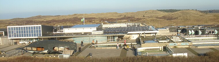
Photo: Traitor, CC BY-SA 3.0.
Duinen van Texel National Park is a national park located on the North Holland island of Texel in the Netherlands. All dune systems on the western side of the island and the large coastal plains on both the northern and southern points of the island are part of the park. Ecomare is situated 2½ km northwest of De Worsteltent.
Texel (Den Burg) Cemetery
Cemetery

Photo: Pa3ems, CC BY-SA 3.0.
Texel (Den Burg) Cemetery is situated 2½ km east of De Worsteltent.
Driehuizen
Dwelling
Driehuizen is a hamlet in the Dutch province of North Holland. It is located on the island of Texel, about 2 km southwest of the town of Den Burg. The name related to three fames were present at the site during the 16th century. Driehuizen is situated 1½ km southeast of De Worsteltent.
Places in the Area
Nearby places include Den Burg and Zuid Haffel.
Den Burg
Town

Photo: Paul van de Velde, CC BY 2.0.
Den Burg is a town in the Dutch province of North Holland. It is a part of the municipality of Texel on the island of the same name, and lies about 12 km north of Den Helder. Den Burg is situated 2½ km east of De Worsteltent.
Zuid Haffel
Hamlet
Zuid Haffel is a polder and hamlet in the northwest of the Netherlands. It is located on the island of Texel, North Holland. Texel is also the municipality of the place. Zuid Haffel is situated 3½ km southeast of De Worsteltent.
Den Hoorn
Village
Den Hoorn is a village in the Dutch province of North Holland. It is a part of the municipality of Texel, and lies about 9 km north of Den Helder. Den Hoorn is situated 3½ km south of De Worsteltent.
De Worsteltent
- Email: worsteltent@planet.nl
- Type: Restaurant
- Category: food
- Location: Texel, North Holland, Western Netherlands, Netherlands, Benelux, Europe
- View on OpenStreetMap
Latitude
53.05806° or 53° 3′ 29″ northLongitude
4.75959° or 4° 45′ 35″ eastOperator
NiederländischOpen location code
9F563Q55+6ROpenStreetMap ID
node 1317125936OpenStreetMap feature
amenity=restaurant
This page is based on OpenStreetMap, Wikidata, and Wikimedia Commons.
We’d love your help improving our open data sources. Thank you for contributing.
Satellite Map
Discover De Worsteltent from above in high-definition satellite imagery.
Notable Places Nearby
Highlights include Boerderij-Restaurant Catharinahoeve and Receptie Dennenoord.
Nearby Places
Explore places such as Woud and Boerderij-Restaurant Catharinahoeve.
North Holland: Must-Visit Destinations
Delve into Amsterdam, Haarlem, Alkmaar, and Schiphol Airport.
Curious Restaurants to Discover
Uncover intriguing restaurants from every corner of the globe.
About Mapcarta. Data © OpenStreetMap contributors and available under the Open Database License". Text is available under the CC BY-SA 4.0 license, except for photos, directions, and the map. Photo: Jerreantwerp, Public domain.