Lamsbacherhof-Brunnen
Lamsbacherhof-Brunnen is a fountain in Pirmasens, Palatinate, Rhineland-Palatinate. Lamsbacherhof-Brunnen is situated nearby to the spring Hungerpfuhlquelle, as well as near the government office Garten- und Friedhofsamt Pirmasens.| Tap on a place to explore it |
Places of Interest Nearby
Highlights include Waldfriedhof and St. Josef (Rodalben).
Waldfriedhof
Cemetery

Photo: Gerd Eichmann, CC BY-SA 4.0.
Waldfriedhof is a cemetery, which is situated 1¼ km southwest of Lamsbacherhof-Brunnen.
St. Josef (Rodalben)
Church

Photo: Gerd Eichmann, CC BY-SA 3.0.
St. Josef (Rodalben) is a church, which is situated 3 km northwest of Lamsbacherhof-Brunnen.
St. Maria (Rodalben)
Church

Photo: Gerd Eichmann, CC BY-SA 3.0.
St. Maria (Rodalben) is a church, which is situated 3 km northwest of Lamsbacherhof-Brunnen.
Places in the Area
Nearby places include Rodalben and Ruppertsweiler.
Rodalben
Village
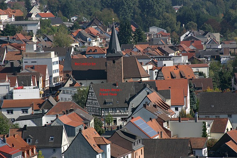
Photo: Gerd Eichmann, CC BY-SA 3.0.
Rodalben is a municipality in the Südwestpfalz district, in Rhineland-Palatinate, Germany. It is situated in the Palatinate forest, approx. 5 km northeast of Pirmasens. Rodalben is situated 2½ km north of Lamsbacherhof-Brunnen.
Ruppertsweiler
Village
Ruppertsweiler is a municipality in Südwestpfalz district, in Rhineland-Palatinate, western Germany and belongs to the municipal association Pirmasens-Land. Ruppertsweiler is situated 3½ km southeast of Lamsbacherhof-Brunnen.
Münchweiler an der Rodalb
Village

Photo: Gerd Eichmann, CC BY-SA 3.0.
Münchweiler an der Rodalb is a municipality in Südwestpfalz district, in Rhineland-Palatinate, Germany, and belongs to the municipal association of Rodalben. Münchweiler an der Rodalb is situated 4 km east of Lamsbacherhof-Brunnen.
Lamsbacherhof-Brunnen
- Type: Fountain
- Location: Pirmasens, Palatinate, Rhineland-Palatinate, Germany, Central Europe, Europe
- View on OpenStreetMap
Latitude
49.217° or 49° 13′ 1″ northLongitude
7.65209° or 7° 39′ 8″ eastOpen location code
8FX96M82+RROpenStreetMap ID
node 13205278252OpenStreetMap feature
amenity=fountainOpenStreetMap feature
man_made=water_well
This page is based on OpenStreetMap, Wikidata, and Wikimedia Commons.
We’d love your help improving our open data sources. Thank you for contributing.
Satellite Map
Discover Lamsbacherhof-Brunnen from above in high-definition satellite imagery.
Notable Places Nearby
Highlights include Hungerpfuhlquelle and Garten- und Friedhofsamt Pirmasens.
Nearby Places
Explore places such as Lamsbacherhof and Nesseltaler Hof.
Palatinate: Must-Visit Destinations
Delve into Ludwigshafen, Speyer, Kaiserslautern, and Landau in der Pfalz.
Curious Fountains to Discover
Uncover intriguing fountains from every corner of the globe.
About Mapcarta. Data © OpenStreetMap contributors and available under the Open Database License". Text is available under the CC BY-SA 4.0 license, except for photos, directions, and the map. Photo: Wikimedia, CC0.