Torre Comunale dell’Orologio
Torre Comunale dell’Orologio is a tower in Cherasco, Province of Cuneo, Piedmont. Torre Comunale dell’Orologio is situated nearby to Piazza Caduti per la Libertà, as well as near the town hall Comune di Cherasco.| Tap on a place to explore it |
Places of Interest Nearby
Highlights include Cherasco Synagogue and San Gregorio.
Cherasco Synagogue
Synagogue

Photo: F Ceragioli, CC BY-SA 4.0.
The Cherasco Synagogue is a former Jewish congregation and synagogue, that is located at Via Marconi 4, in Cherasco, Piedmont, Italy. Designed in the Baroque style, the synagogue was completed in the 18th century. Cherasco Synagogue is situated 120 metres south of Torre Comunale dell’Orologio.

Church of Sant’Agostino
Church

Photo: Wikimedia, CC BY-SA 3.0.
Church of Sant’Agostino is situated 180 metres north of Torre Comunale dell’Orologio.
Places in the Area
Nearby places include Pollentia and Bra.
Pollentia
Village
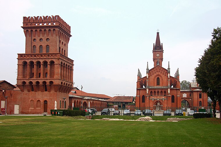
Photo: Awd, CC BY-SA 3.0.
Pollentia, known today as Pollenzo, was an ancient city on the left bank of the Tanaro. It is now a frazione of Bra in the Province of Cuneo, Piedmont, northern Italy. Pollentia is situated 4½ km northeast of Torre Comunale dell’Orologio.
Bra

Photo: Wikimedia, CC BY-SA 3.0.
Bra is a town of 30,000 people in Piedmont. It is a culinary destination, home to the Slow Food movement and the University of Gastronomic Sciences, so you are guaranteed to eat and drink well.
La Morra

Photo: Helge Høifødt, CC BY-SA 3.0.
La Morra is a comune in the Province of Cuneo in the Italian region Piedmont, located about 50 kilometres southeast of Turin and about 40 kilometres northeast of Cuneo.
Torre Comunale dell’Orologio
- Type: Tower
- Location: Cherasco, Province of Cuneo, Piedmont, Northwest Italy, Italy, Europe
- View on OpenStreetMap
Latitude
44.65212° or 44° 39′ 8″ northLongitude
7.85815° or 7° 51′ 29″ eastOpen location code
8FP9MV25+R7OpenStreetMap ID
node 1325493085OpenStreetMap feature
man_made=tower
This page is based on OpenStreetMap, Wikidata, and Wikimedia Commons.
We’d love your help improving our open data sources. Thank you for contributing.
Satellite Map
Discover Torre Comunale dell’Orologio from above in high-definition satellite imagery.
Notable Places Nearby
Highlights include Piazza Caduti per la Libertà and Comune di Cherasco.
Nearby Places
Explore places such as UniCredit Bank and Parafarmacia.
Piedmont: Must-Visit Destinations
Delve into Turin, Novara, Asti, and Alessandria.
Curious Towers to Discover
Uncover intriguing towers from every corner of the globe.
About Mapcarta. Data © OpenStreetMap contributors and available under the Open Database License". Text is available under the CC BY-SA 4.0 license, except for photos, directions, and the map. Photo: Tony Frisina, Public domain.