Hindera Fiold
Hindera Fiold is a locality in Orkney Islands, Scotland. Hindera Fiold is situated nearby to the locality Cuppablack, as well as near Chair of Lyde.| Tap on a place to explore it |
Places of Interest
Highlights include Knowes of Trotty.
Knowes of Trotty
Archaeological site

Photo: Wikimedia, CC BY-SA 2.0.
The Knowes of Trotty is a Bronze Age cemetery located in Mainland, Orkney in Scotland. The ancient site consists of a group of twelve surviving burial mounds, dating to 2030–1770 BC.
Places in the Area
Nearby places include Rendall and Harray.
Rendall
Village

Photo: John Comloquoy, CC BY-SA 2.0.
Rendall is a parish on Mainland, Orkney, Scotland. It is in the north west of the island and lies east of the parishes of Birsay and Evie and north east of Harray. The island of Gairsay is also in the parish. Rendall is situated 2 miles east of Hindera Fiold.
Harray
Village
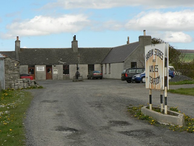
Photo: Wikimedia, CC BY-SA 2.0.
Harray is an Orcadian parish and village on Mainland, Orkney, Scotland, United Kingdom. The village is near the Loch of Harray and was used by the Vikings for waterway transportation and Old Norse was spoken in the area up until the 1700s. Harray is situated 2½ miles southwest of Hindera Fiold.
Firth
Locality
Firth is a civil parish mainly on Mainland, Orkney. The islands of Damsay and Holm of Grimbister, which lie in the Bay of Firth, are also in the parish. Firth is situated 3 miles south of Hindera Fiold.
Hindera Fiold
- Type: Locality
- Location: Orkney Islands, Scotland, United Kingdom, Britain and Ireland, Europe
- View on OpenStreetMap
Latitude
59.05306° or 59° 3′ 11″ northLongitude
-3.13176° or 3° 7′ 54″ westOpen location code
9CFR3V39+67OpenStreetMap ID
node 1348017181OpenStreetMap feature
place=locality
This page is based on OpenStreetMap, Wikidata, and Wikimedia Commons.
We’d love your help improving our open data sources. Thank you for contributing.
Satellite Map
Discover Hindera Fiold from above in high-definition satellite imagery.
Places with the Same Name
Discover other places named “Hindera Fiold”.
Localities in the Area
Explore places such as Cuppablack and Hindera Fiold.
Notable Places Nearby
Highlights include Milldoe - Mid Tooin and Burrian Broch,broch,Corrigall.
Orkney Islands: Must-Visit Destinations
Delve into Kirkwall, Stromness, Hoy, and Shapinsay.
Curious Localities to Discover
Uncover intriguing localities from every corner of the globe.
About Mapcarta. Data © OpenStreetMap contributors and available under the Open Database License". Text is available under the CC BY-SA 4.0 license, except for photos, directions, and the map. Photo: Massimo Telò, CC BY-SA 3.0.